Grimsby night lights from space
Night Light of Grimsby (England) from space (United Kingdom) Src. Average luminocity for 10x10km area is 44.4987% and for 50x50km: 9.2129%.
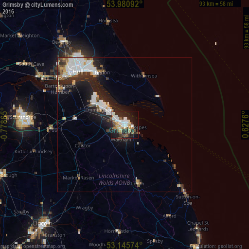
Analysis of Grimsby night lights 2016
Square area 10x10 km:
 8.33%
8.33%90-99
10.98%80-89
3.79%70-79
3.91%60-69
8.08%50-59
5.18%40-49
3.28%30-39
4.67%20-29
20.2%10-19
21.09%0-9
10.48%Square area 50x50 km:
2.12%90-99
2.18%80-89
0.66%70-79
0.63%60-69
0.85%50-59
1.03%40-49
0.9%30-39
0.98%20-29
3.49%10-19
5.69%0-9
81.48%Clear (daylight) street map image can be seen on geolist.org.
Map coordinates:
53° 58' 51.3" North, 0° 46' 43.1" West
53° 33' 55.4" North, 0° 4' 31.9" West
53° 8' 44.7" North, 0° 37' 39.4" East
Some cities around Grimsby sort by population:
• Kingston upon Hull
26.3 km =16.3 mi,  319°
319°
• Cleethorpes
2.9 km =1.8 mi,  100°
100°
• Louth
22.6 km =14 mi,  167°
167°
• Immingham
10.7 km =6.6 mi,  300°
300°
• Hedon
20.9 km =13 mi,  337°
337°
• Humberston
5.1 km =3.2 mi,  139°
139°
• Waltham
5.7 km =3.5 mi,  196°
196°
• Withernsea
19.7 km =12.2 mi,  21°
21°
2647878 (p: 134,160)
Sources (retrieved 2019-11-25):
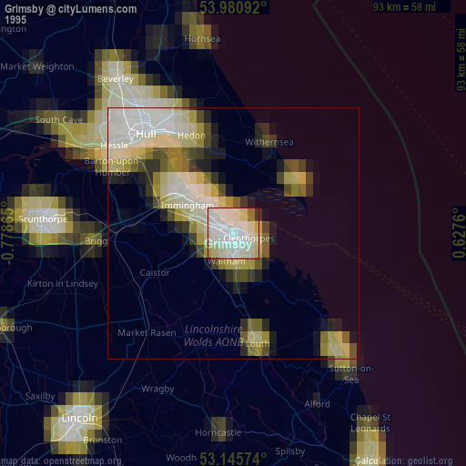
» NASA, Earths city lights 1995
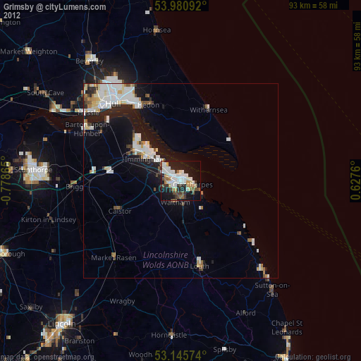
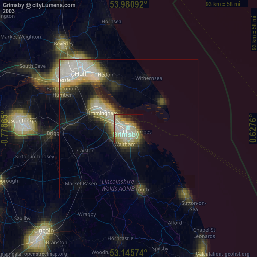
» NASA city lights 2003
» Earth at Night: Flat Maps 2012, 2016