Blandford Forum night lights from space
Night Light of Blandford Forum (England) from space (United Kingdom) Src. Average luminocity for 10x10km area is 5.7591% and for 50x50km: 6.5196%.
Analysis of Blandford Forum night lights 2016
Square area 10x10 km:
 0.14%
0.14%90-99
1.54%80-89
0%70-79
0.7%60-69
2.24%50-59
1.4%40-49
0.14%30-39
0.56%20-29
0.14%10-19
0.42%0-9
92.72%Square area 50x50 km:
0.59%90-99
1.2%80-89
0.65%70-79
0.96%60-69
1.01%50-59
0.87%40-49
0.93%30-39
0.97%20-29
2.3%10-19
3.54%0-9
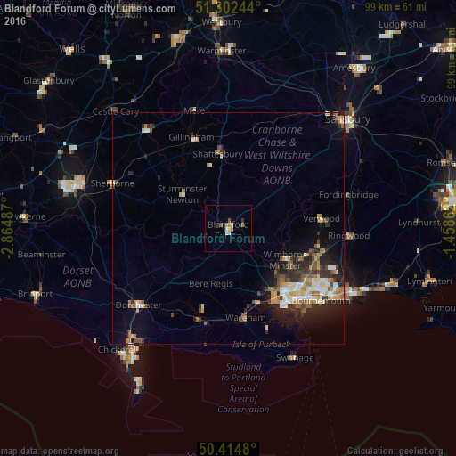
86.99%Clear (daylight) street map image can be seen on geolist.org.
Map coordinates:
51° 18' 8.8" North, 2° 51' 53.5" West
50° 51' 38.6" North, 2° 9' 42.3" West
50° 24' 53.3" North, 1° 27' 31" West
Some cities around Blandford Forum sort by population:
• Ferndown
19.3 km =12 mi,  107°
107°
• Wimborne Minster
15.2 km =9.4 mi,  124°
124°
• Canford Heath
18.2 km =11.3 mi,  131°
131°
• Verwood
20.5 km =12.7 mi,  85°
85°
• Broadstone
16.5 km =10.3 mi, 134°
• Wareham
19.5 km =12.1 mi,  169°
169°
• Shaftesbury
16.2 km =10.1 mi,  352°
352°
• Manston
12.4 km =7.7 mi,  323°
323°
2655378 (p: 11,694)
Sources (retrieved 2019-11-25):
» Earth at Night: Flat Maps 2012, 2016