Wareham night lights from space
Night Light of Wareham (England) from space (United Kingdom) Src. Average luminocity for 10x10km area is 5.4305% and for 50x50km: 6.78%.
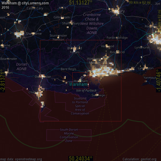
Analysis of Wareham night lights 2016
Square area 10x10 km:
 0%
0%90-99
0.53%80-89
0.67%70-79
0.4%60-69
0.53%50-59
1.47%40-49
1.47%30-39
0.67%20-29
1.07%10-19
4.14%0-9
89.04%Square area 50x50 km:
0.63%90-99
1.25%80-89
0.7%70-79
0.89%60-69
1.03%50-59
0.95%40-49
1%30-39
0.94%20-29
2.24%10-19
4.47%0-9
85.9%Clear (daylight) street map image can be seen on geolist.org.
Map coordinates:
51° 7' 52.6" North, 2° 48' 49.4" West
50° 41' 16.5" North, 2° 6' 38.1" West
50° 14' 25.2" North, 1° 24' 26.9" West
Some cities around Wareham sort by population:
• Bournemouth
16.7 km =10.4 mi,  77°
77°
• Poole
9.3 km =5.8 mi,  71°
71°
• Wimborne Minster
13.9 km =8.6 mi,  40°
40°
• Canford Heath
12.2 km =7.6 mi,  54°
54°
• Blandford Forum
19.5 km =12.1 mi,  349°
349°
• Swanage
13.6 km =8.5 mi,  129°
129°
• Broadstone
11.2 km =7 mi, 46°
• Parkstone
12.6 km =7.8 mi, 68°
2634776 (p: 7,592)
Sources (retrieved 2019-11-25):
» Earth at Night: Flat Maps 2012, 2016