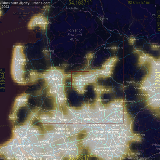
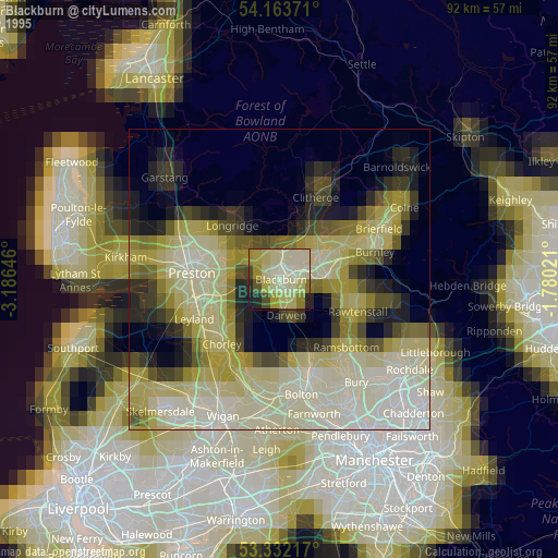
Blackburn night lights from space
Night Light of Blackburn (England) from space (United Kingdom) Src. Average luminocity for 10x10km area is 41.5126% and for 50x50km: 26.6108%.
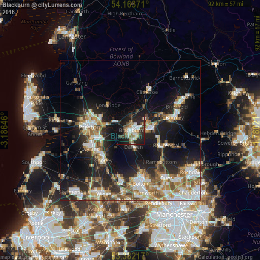

Analysis of Blackburn night lights 2016
Square area 10x10 km:
 7.58%
7.58%90-99
8.84%80-89
3.41%70-79
3.41%60-69
4.42%50-59
5.43%40-49
7.83%30-39
5.18%20-29
20.58%10-19
22.73%0-9
10.61%Square area 50x50 km:
4.62%90-99
5.45%80-89
2.31%70-79
3.04%60-69
4.39%50-59
3.62%40-49
3.45%30-39
3.1%20-29
7.5%10-19
16.16%0-9
46.37%Clear (daylight) street map image can be seen on geolist.org.
Map coordinates:
54° 9' 49.4" North, 3° 11' 11.3" West
53° 45' 0" North, 2° 28' 60" West
53° 19' 55.8" North, 1° 46' 48.8" West
Some cities around Blackburn sort by population:
• Accrington
8.2 km =5.1 mi,  87°
87°
• Darwen
5.9 km =3.7 mi,  168°
168°
• Haslingden
11.7 km =7.3 mi,  116°
116°
• Great Harwood
6.3 km =3.9 mi,  51°
51°
• Padiham
12.5 km =7.8 mi,  62°
62°
• Clayton le Moors
6.8 km =4.2 mi,  74°
74°
• Longridge
11.9 km =7.4 mi,  320°
320°
• Rishton
5 km =3.1 mi, 66°
2655524 (p: 146,521)
Sources (retrieved 2019-11-25):
» NASA, Earths city lights 1995
» NASA city lights 2003
» Earth at Night: Flat Maps 2012, 2016