Bathgate night lights from space
Night Light of Bathgate (Scotland) from space (United Kingdom) Src. Average luminocity for 10x10km area is 41.7707% and for 50x50km: 22.8438%.
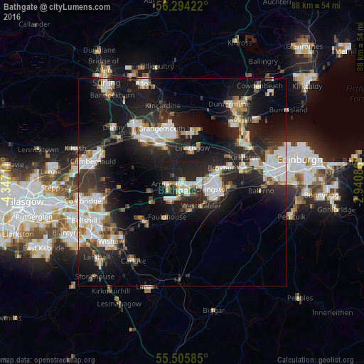
Analysis of Bathgate night lights 2016
Square area 10x10 km:
 9.52%
9.52%90-99
8.77%80-89
3.13%70-79
5.89%60-69
1.25%50-59
3.38%40-49
1.75%30-39
5.01%20-29
28.82%10-19
31.83%0-9
0.63%Square area 50x50 km:
4.77%90-99
5.05%80-89
1.52%70-79
2.19%60-69
2.12%50-59
1.93%40-49
2.06%30-39
3.18%20-29
9.2%10-19
18.19%0-9
49.8%Clear (daylight) street map image can be seen on geolist.org.
Map coordinates:
56° 17' 39.2" North, 4° 20' 49.6" West
55° 54' 7.3" North, 3° 38' 38.3" West
55° 30' 21.1" North, 2° 56' 27.1" West
Some cities around Bathgate sort by population:
• Livingston
7.6 km =4.7 mi,  89°
89°
• Broxburn
11.3 km =7 mi,  71°
71°
• Bo’ness
12.9 km =8 mi,  7°
7°
• Linlithgow
8.6 km =5.3 mi,  16°
16°
• Armadale
4.1 km =2.5 mi,  239°
239°
• Whitburn
4.6 km =2.9 mi,  211°
211°
• Blackburn
4 km =2.5 mi,  170°
170°
• Polmont
10.6 km =6.6 mi,  338°
338°
2656169 (p: 21,070)
Sources (retrieved 2019-11-25):
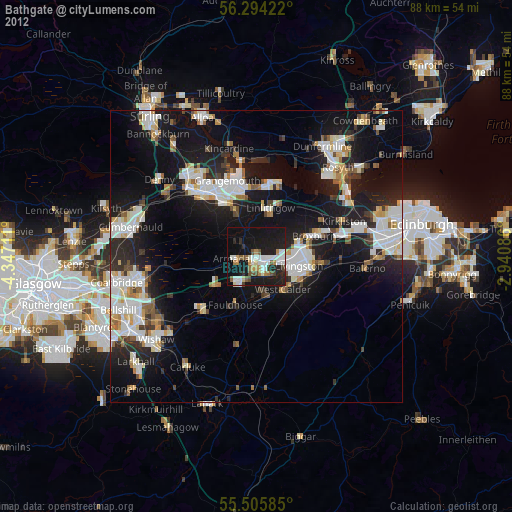
» Earth at Night: Flat Maps 2012, 2016