Bo’ness night lights from space
Night Light of Bo’ness (Scotland) from space (United Kingdom) Src. Average luminocity for 10x10km area is 30.0677% and for 50x50km: 21.7579%.
Analysis of Bo’ness night lights 2016
Square area 10x10 km:
 4.89%
4.89%90-99
7.27%80-89
2.51%70-79
3.01%60-69
4.51%50-59
1.38%40-49
1.13%30-39
3.38%20-29
13.53%10-19
24.56%0-9
33.83%Square area 50x50 km:
4.47%90-99
4.71%80-89
1.59%70-79
2.01%60-69
1.99%50-59
1.87%40-49
1.92%30-39
2.71%20-29
8.62%10-19
18.2%0-9
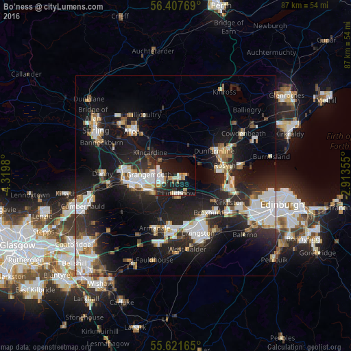
51.9%Clear (daylight) street map image can be seen on geolist.org.
Map coordinates:
56° 24' 27.7" North, 4° 19' 11.3" West
56° 1' 0" North, 3° 37' 0" West
55° 37' 17.9" North, 2° 54' 48.8" West
Some cities around Bo’ness sort by population:
• Dunfermline
11.5 km =7.1 mi,  58°
58°
• Falkirk
10.6 km =6.6 mi,  261°
261°
• Grangemouth
6.6 km =4.1 mi, 264°
• Broxburn
12.9 km =8 mi,  135°
135°
• Rosyth
11.3 km =7 mi,  78°
78°
• Linlithgow
4.6 km =2.9 mi,  169°
169°
• Stenhousemuir
12.4 km =7.7 mi,  275°
275°
• Polmont
6.3 km =3.9 mi,  242°
242°
2655215 (p: 14,910)
Sources (retrieved 2019-11-25):
» Earth at Night: Flat Maps 2012, 2016