Barrow upon Soar night lights from space
Night Light of Barrow upon Soar (England) from space (United Kingdom) Src. Average luminocity for 10x10km area is 28.0682% and for 50x50km: 23.6679%.
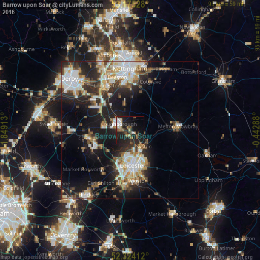
Analysis of Barrow upon Soar night lights 2016
Square area 10x10 km:
 4.17%
4.17%90-99
2.78%80-89
2.27%70-79
1.01%60-69
6.44%50-59
2.53%40-49
4.42%30-39
3.91%20-29
14.39%10-19
35.73%0-9
22.35%Square area 50x50 km:
4.46%90-99
5.03%80-89
2.59%70-79
2.24%60-69
2.66%50-59
2.65%40-49
3.09%30-39
3.18%20-29
7.21%10-19
15.07%0-9
51.81%Clear (daylight) street map image can be seen on geolist.org.
Map coordinates:
53° 10' 31" North, 1° 50' 56.9" West
52° 45' 6.4" North, 1° 8' 45.6" West
52° 19' 26.8" North, 0° 26' 34.4" West
Some cities around Barrow upon Soar sort by population:
• Loughborough
4 km =2.5 mi,  294°
294°
• Mountsorrel
3.9 km =2.4 mi,  183°
183°
• Shepshed
9.8 km =6.1 mi,  279°
279°
• Syston
9.3 km =5.8 mi,  144°
144°
• Sileby
3.3 km =2.1 mi,  129°
129°
• Anstey
9.1 km =5.7 mi,  198°
198°
• East Leake
9 km =5.6 mi,  344°
344°
• Quorndon
2 km =1.2 mi,  246°
246°
2656239 (p: 5,196)
Sources (retrieved 2019-11-25):
» Earth at Night: Flat Maps 2012, 2016