Banstead night lights from space
Night Light of Banstead (England) from space (United Kingdom) Src. Average luminocity for 10x10km area is 54.6148% and for 50x50km: 48.4109%.
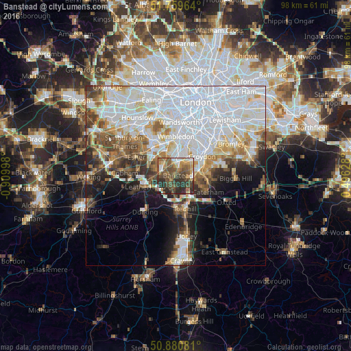
Analysis of Banstead night lights 2016
Square area 10x10 km:
 5.46%
5.46%90-99
5.74%80-89
5.6%70-79
8.82%60-69
11.62%50-59
16.11%40-49
17.93%30-39
10.08%20-29
18.49%10-19
0.14%0-9
0%Square area 50x50 km:
19.77%90-99
10.73%80-89
4.06%70-79
4.05%60-69
4.58%50-59
4.32%40-49
4.71%30-39
4.33%20-29
5.09%10-19
7.48%0-9
30.9%Clear (daylight) street map image can be seen on geolist.org.
Map coordinates:
51° 45' 34.7" North, 0° 54' 35.9" West
51° 19' 20.4" North, 0° 12' 24.7" West
50° 52' 50.9" North, 0° 29' 46.6" East
Some cities around Banstead sort by population:
• Sutton
3.1 km =1.9 mi,  8°
8°
• Carshalton
5.8 km =3.6 mi,  28°
28°
• Ewell
4.2 km =2.6 mi,  315°
315°
• Epsom
4.5 km =2.8 mi,  281°
281°
• Coulsdon
4.6 km =2.9 mi,  93°
93°
• Ashtead
6.6 km =4.1 mi,  256°
256°
• Cheam
4.5 km =2.8 mi,  348°
348°
• Tadworth
4 km =2.5 mi,  210°
210°
2656379 (p: 46,280)
Sources (retrieved 2019-11-25):
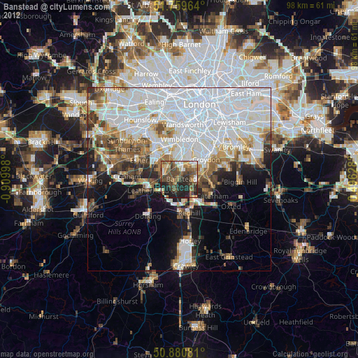
» Earth at Night: Flat Maps 2012, 2016