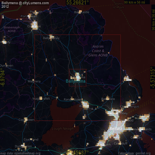
Ballymena night lights from space
Night Light of Ballymena (Northern Ireland) from space (United Kingdom) Src. Average luminocity for 10x10km area is 17.7572% and for 50x50km: 4.3581%.
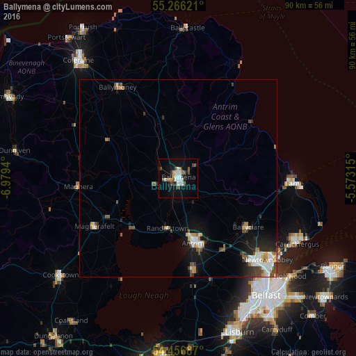
Analysis of Ballymena night lights 2016
Square area 10x10 km:
 2.51%
2.51%90-99
4.55%80-89
0.6%70-79
0%60-69
2.87%50-59
2.15%40-49
3.59%30-39
1.44%20-29
2.15%10-19
16.39%0-9
63.76%Square area 50x50 km:
0.69%90-99
0.83%80-89
0.23%70-79
0.41%60-69
0.51%50-59
0.67%40-49
0.74%30-39
0.62%20-29
0.88%10-19
3.06%0-9
91.37%Clear (daylight) street map image can be seen on geolist.org.
Map coordinates:
55° 15' 58.4" North, 6° 58' 45.8" West
54° 51' 48.9" North, 6° 16' 34.6" West
54° 27' 24.7" North, 5° 34' 23.3" West
Some cities around Ballymena sort by population:
• Newtownabbey
32.7 km =20.3 mi,  133°
133°
• Antrim
18.8 km =11.7 mi,  164°
164°
• Larne
29.5 km =18.3 mi,  92°
92°
• Magherafelt
24.4 km =15.2 mi,  239°
239°
• Jordanstown
31.4 km =19.5 mi, 129°
• Randalstown
12.7 km =7.9 mi,  186°
186°
• Crumlin
27.3 km =17 mi,  171°
171°
• Greenisland
31.5 km =19.6 mi, 125°
2656490 (p: 28,932)
Sources (retrieved 2019-11-25):
» Earth at Night: Flat Maps 2012, 2016