Magherafelt night lights from space
Night Light of Magherafelt (Northern Ireland) from space (United Kingdom) Src. Average luminocity for 10x10km area is 3.9173% and for 50x50km: 2.1738%.
Analysis of Magherafelt night lights 2016
Square area 10x10 km:
 0.38%
0.38%90-99
0.63%80-89
0.5%70-79
0.5%60-69
0.5%50-59
1%40-49
0.5%30-39
0.63%20-29
0.63%10-19
0.25%0-9
94.49%Square area 50x50 km:
0.24%90-99
0.33%80-89
0.13%70-79
0.18%60-69
0.34%50-59
0.39%40-49
0.44%30-39
0.27%20-29
0.27%10-19
1.28%0-9
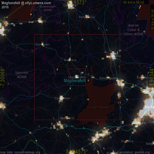
96.12%Clear (daylight) street map image can be seen on geolist.org.
Map coordinates:
55° 9' 26.3" North, 7° 18' 34.9" West
54° 45' 12.8" North, 6° 36' 23.6" West
54° 20' 44.7" North, 5° 54' 12.4" West
Some cities around Magherafelt sort by population:
• Ballymena
24.4 km =15.2 mi,  59°
59°
• Antrim
26.8 km =16.7 mi,  102°
102°
• Dungannon
29.7 km =18.5 mi,  200°
200°
• Cookstown
15.2 km =9.4 mi,  216°
216°
• Ballymoney
35.8 km =22.2 mi,  9°
9°
• Coalisland
24.3 km =15.1 mi,  194°
194°
• Randalstown
19.7 km =12.2 mi,  91°
91°
• Crumlin
29.2 km =18.1 mi,  120°
120°
2643208 (p: 9,157)
Sources (retrieved 2019-11-25):
» Earth at Night: Flat Maps 2012, 2016