Hindley night lights from space
Night Light of Hindley (England) from space (United Kingdom) Src. Average luminocity for 10x10km area is 57.9643% and for 50x50km: 49.0515%.
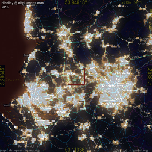
Analysis of Hindley night lights 2016
Square area 10x10 km:
 6.35%
6.35%90-99
10.71%80-89
7.14%70-79
10.85%60-69
7.94%50-59
8.86%40-49
17.2%30-39
19.18%20-29
11.77%10-19
0%0-9
0%Square area 50x50 km:
12.83%90-99
10.95%80-89
4.42%70-79
4.94%60-69
6.14%50-59
5.35%40-49
7.19%30-39
7.6%20-29
10.97%10-19
15.12%0-9
14.48%Clear (daylight) street map image can be seen on geolist.org.
Map coordinates:
53° 56' 57" North, 3° 17' 11.2" West
53° 31' 60" North, 2° 34' 60" West
53° 6' 48.1" North, 1° 52' 48.7" West
Some cities around Hindley sort by population:
• Wigan
3.7 km =2.3 mi,  286°
286°
• Leigh
5.9 km =3.7 mi,  134°
134°
• Westhoughton
4.3 km =2.7 mi,  65°
65°
• Golborne
6.3 km =3.9 mi,  187°
187°
• Atherton
6 km =3.7 mi,  100°
100°
• Ince-in-Makerfield
2.2 km =1.4 mi,  270°
270°
• Abram
2.8 km =1.7 mi, 192°
• Blackrod
6.6 km =4.1 mi,  1°
1°
2646862 (p: 24,169)
Sources (retrieved 2019-11-25):
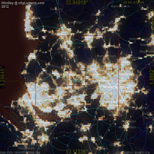
» Earth at Night: Flat Maps 2012, 2016