Altrincham night lights from space
Night Light of Altrincham (England) from space (United Kingdom) Src. Average luminocity for 10x10km area is 63.9735% and for 50x50km: 44.3569%.
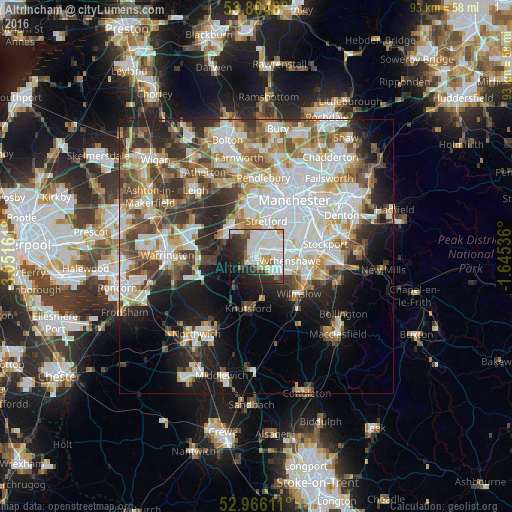
Analysis of Altrincham night lights 2016
Square area 10x10 km:
 21.3%
21.3%90-99
23.28%80-89
4.37%70-79
3.04%60-69
3.04%50-59
3.84%40-49
3.7%30-39
9.39%20-29
14.81%10-19
10.45%0-9
2.78%Square area 50x50 km:
12.08%90-99
10.15%80-89
4.8%70-79
4.7%60-69
5.17%50-59
5.3%40-49
5.87%30-39
5.61%20-29
7.88%10-19
11.15%0-9
27.28%Clear (daylight) street map image can be seen on geolist.org.
Map coordinates:
53° 48' 17.3" North, 3° 3' 5.8" West
53° 23' 15.1" North, 2° 20' 54.5" West
52° 57' 58" North, 1° 38' 43.3" West
Some cities around Altrincham sort by population:
• Sale
4.5 km =2.8 mi,  20°
20°
• Stretford
7.3 km =4.5 mi, 16°
• Urmston
6.8 km =4.2 mi,  356°
356°
• Irlam
7.9 km =4.9 mi,  320°
320°
• Hale
1.5 km =0.9 mi,  134°
134°
• Timperley
1.7 km =1.1 mi,  35°
35°
• Partington
6.3 km =3.9 mi,  303°
303°
• Bowdon
1.7 km =1.1 mi,  222°
222°
2657402 (p: 41,548)
Sources (retrieved 2019-11-25):
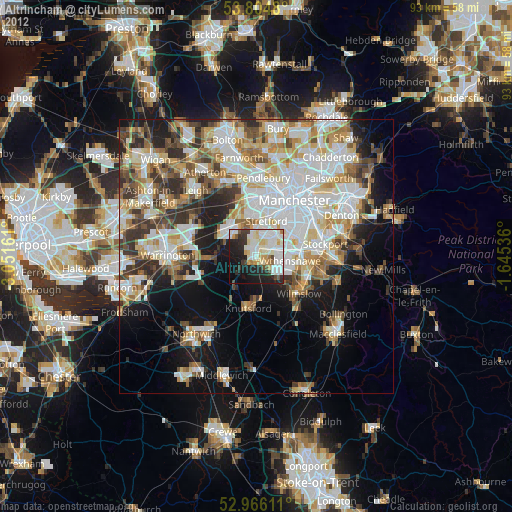
» Earth at Night: Flat Maps 2012, 2016