Yerres night lights from space
Night Light of Yerres (Île-de-France) from space (France) Src. Average luminocity for 10x10km area is 85.8616% and for 50x50km: 62.6985%.
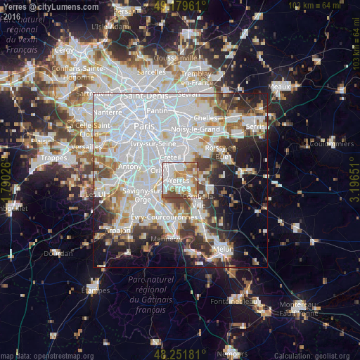
Analysis of Yerres night lights 2016
Square area 10x10 km:
 36.01%
90-99
23.66%80-89
6.4%70-79
12.35%60-69
9.08%50-59
6.99%40-49
5.51%30-39
0%20-29
0%10-19
0%0-9
0%Square area 50x50 km:
29.72%90-99
14.56%80-89
3.87%70-79
4.34%60-69
4.82%50-59
3.74%40-49
4.44%30-39
4.93%20-29
6.93%10-19
8.63%0-9
14.04%Clear (daylight) street map image can be seen on geolist.org.
Map coordinates:
49° 10' 46.6" North, 1° 47' 24.9" East
48° 43' 4.3" North, 2° 29' 36.2" East
48° 15' 6.5" North, 3° 11' 47.4" East
Some cities around Yerres sort by population:
• Villeneuve-Saint-Georges
3.6 km =2.2 mi,  296°
296°
• Brunoy
2.6 km =1.6 mi,  181°
181°
• Montgeron
3.4 km =2.1 mi,  246°
246°
• Limeil-Brévannes
3 km =1.9 mi,  351°
351°
• Épinay-sous-Sénart
3.4 km =2.1 mi,  156°
156°
• Valenton
3.7 km =2.3 mi,  325°
325°
• Villecresnes
3.4 km =2.1 mi,  85°
85°
• Crosne
2.7 km =1.7 mi,  273°
273°
2967245 (p: 28,897)
Sources (retrieved 2019-11-25):
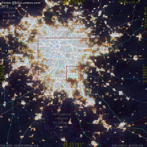
» Earth at Night: Flat Maps 2012, 2016