Brunoy night lights from space
Night Light of Brunoy (Île-de-France) from space (France) Src. Average luminocity for 10x10km area is 78.6667% and for 50x50km: 59.0934%.
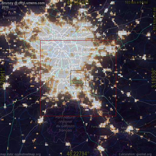
Analysis of Brunoy night lights 2016
Square area 10x10 km:
 26.64%
90-99
21.88%80-89
6.25%70-79
9.23%60-69
8.63%50-59
8.04%40-49
19.35%30-39
0%20-29
0%10-19
0%0-9
0%Square area 50x50 km:
26.79%90-99
14.01%80-89
3.75%70-79
4.29%60-69
4.74%50-59
3.76%40-49
4.45%30-39
4.79%20-29
6.68%10-19
9.21%0-9
17.53%Clear (daylight) street map image can be seen on geolist.org.
Map coordinates:
49° 9' 22.2" North, 1° 47' 20.8" East
48° 41' 39.1" North, 2° 29' 32" East
48° 13' 40.6" North, 3° 11' 43.3" East
Some cities around Brunoy sort by population:
• Villeneuve-Saint-Georges
5.3 km =3.3 mi,  323°
323°
• Yerres
2.6 km =1.6 mi,  1°
1°
• Montgeron
3.3 km =2.1 mi,  292°
292°
• Épinay-sous-Sénart
1.5 km =0.9 mi,  109°
109°
• Villecresnes
4.5 km =2.8 mi,  50°
50°
• Crosne
3.8 km =2.4 mi, 317°
• Quincy-sous-Sénart
3.9 km =2.4 mi,  127°
127°
• Boussy-Saint-Antoine
2.8 km =1.7 mi,  97°
97°
3029748 (p: 24,096)
Sources (retrieved 2019-11-25):
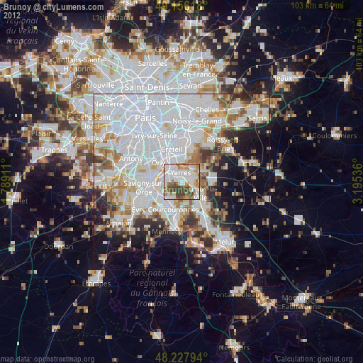
» Earth at Night: Flat Maps 2012, 2016