Noisy-le-Sec night lights from space
Night Light of Noisy-le-Sec (Île-de-France) from space (France) Src. Average luminocity for 10x10km area is 99.9233% and for 50x50km: 69.3032%.
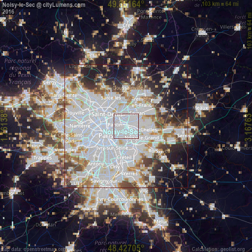
Analysis of Noisy-le-Sec night lights 2016
Square area 10x10 km:
 93.32%
90-99
6.68%80-89
0%70-79
0%60-69
0%50-59
0%40-49
0%30-39
0%20-29
0%10-19
0%0-9
0%Square area 50x50 km:
33.41%90-99
16.62%80-89
4.58%70-79
4.27%60-69
5.1%50-59
4.33%40-49
4.39%30-39
4.7%20-29
6.73%10-19
10.54%0-9
5.32%Clear (daylight) street map image can be seen on geolist.org.
Map coordinates:
49° 21' 5.9" North, 1° 45' 41" East
48° 53' 29.3" North, 2° 27' 52.2" East
48° 25' 37.4" North, 3° 10' 3.5" East
Some cities around Noisy-le-Sec sort by population:
• Montreuil
3.4 km =2.1 mi,  207°
207°
• Bondy
2.1 km =1.3 mi,  57°
57°
• Bobigny
2.3 km =1.4 mi,  332°
332°
• Rosny-sous-Bois
3.5 km =2.2 mi,  133°
133°
• Villemomble
2.7 km =1.7 mi,  109°
109°
• Romainville
2.3 km =1.4 mi,  252°
252°
• Les Lilas
3.5 km =2.2 mi, 248°
• Les Pavillons-sous-Bois
3.5 km =2.2 mi, 60°
2990187 (p: 38,955)
Sources (retrieved 2019-11-25):
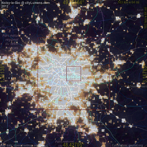
» Earth at Night: Flat Maps 2012, 2016