Veigné night lights from space
Night Light of Veigné (Centre) from space (France) Src. Average luminocity for 10x10km area is 14.6399% and for 50x50km: 7.698%.
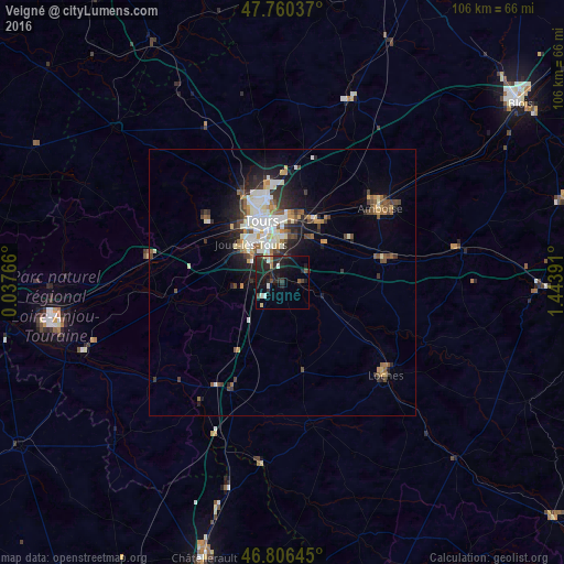
Analysis of Veigné night lights 2016
Square area 10x10 km:
 0.6%
0.6%90-99
2.38%80-89
1.19%70-79
0.6%60-69
0.89%50-59
1.19%40-49
1.49%30-39
2.98%20-29
13.1%10-19
18.15%0-9
57.44%Square area 50x50 km:
1.16%90-99
1.74%80-89
0.78%70-79
0.78%60-69
0.7%50-59
0.82%40-49
1.3%30-39
1.03%20-29
2.25%10-19
4.05%0-9
85.39%Clear (daylight) street map image can be seen on geolist.org.
Map coordinates:
47° 45' 37.3" North, 0° 2' 15.6" East
47° 17' 8" North, 0° 44' 26.8" East
46° 48' 23.2" North, 1° 26' 38.1" East
Some cities around Veigné sort by population:
• Tours
12.5 km =7.8 mi,  347°
347°
• Joué-lès-Tours
9.2 km =5.7 mi,  323°
323°
• Saint-Avertin
8.7 km =5.4 mi,  359°
359°
• Saint-Pierre-des-Corps
11.2 km =7 mi,  2°
2°
• Chambray-lès-Tours
6.2 km =3.9 mi,  332°
332°
• La Riche
12.8 km =8 mi,  335°
335°
• Ballan-Miré
11.3 km =7 mi,  302°
302°
• Monts
8.8 km =5.5 mi,  263°
263°
2970237 (p: 5,771)
Sources (retrieved 2019-11-25):
» Earth at Night: Flat Maps 2012, 2016