Monts night lights from space
Night Light of Monts (Centre) from space (France) Src. Average luminocity for 10x10km area is 7.3408% and for 50x50km: 6.8209%.
Analysis of Monts night lights 2016
Square area 10x10 km:
 0%
0%90-99
0.89%80-89
0.45%70-79
1.04%60-69
0%50-59
0%40-49
1.19%30-39
0.89%20-29
5.36%10-19
13.39%0-9
76.79%Square area 50x50 km:
1.16%90-99
1.71%80-89
0.67%70-79
0.61%60-69
0.55%50-59
0.55%40-49
0.97%30-39
0.92%20-29
2.13%10-19
3.95%0-9
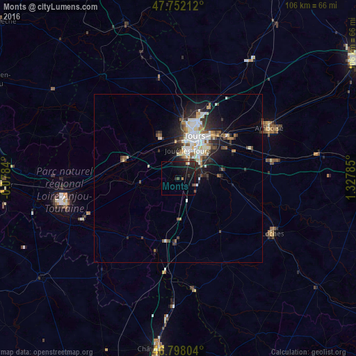
86.77%Clear (daylight) street map image can be seen on geolist.org.
Map coordinates:
47° 45' 7.6" North, 0° 4' 42.2" West
47° 16' 38" North, 0° 37' 29" East
46° 47' 52.9" North, 1° 19' 40.3" East
Some cities around Monts sort by population:
• Joué-lès-Tours
9 km =5.6 mi,  21°
21°
• Saint-Cyr-sur-Loire
14 km =8.7 mi,  13°
13°
• Saint-Avertin
12.9 km =8 mi,  42°
42°
• Chambray-lès-Tours
8.7 km =5.4 mi, 42°
• La Riche
13 km =8.1 mi, 15°
• Ballan-Miré
7.1 km =4.4 mi,  353°
353°
• Veigné
8.8 km =5.5 mi,  83°
83°
• Luynes
13 km =8.1 mi,  336°
336°
2992008 (p: 7,054)
Sources (retrieved 2019-11-25):
» Earth at Night: Flat Maps 2012, 2016