Joué-lès-Tours night lights from space
Night Light of Joué-lès-Tours (Centre) from space (France) Src. Average luminocity for 10x10km area is 61.9583% and for 50x50km: 7.2205%.
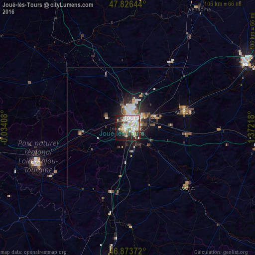
Analysis of Joué-lès-Tours night lights 2016
Square area 10x10 km:
 15.77%
90-99
22.47%80-89
9.08%70-79
4.61%60-69
2.83%50-59
3.87%40-49
4.32%30-39
4.76%20-29
14.14%10-19
14.29%0-9
3.87%Square area 50x50 km:
1.14%90-99
1.69%80-89
0.77%70-79
0.75%60-69
0.64%50-59
0.72%40-49
1.06%30-39
0.96%20-29
2.06%10-19
3.93%0-9
86.28%Clear (daylight) street map image can be seen on geolist.org.
Map coordinates:
47° 49' 35.2" North, 0° 2' 2.7" West
47° 21' 8" North, 0° 40' 8.6" East
46° 52' 25.4" North, 1° 22' 19.8" East
Some cities around Joué-lès-Tours sort by population:
• Tours
5.4 km =3.4 mi,  29°
29°
• Saint-Cyr-sur-Loire
5.3 km =3.3 mi,  358°
358°
• Saint-Avertin
5.5 km =3.4 mi,  76°
76°
• Saint-Pierre-des-Corps
7.1 km =4.4 mi,  57°
57°
• Chambray-lès-Tours
3.2 km =2 mi,  126°
126°
• Fondettes
7.9 km =4.9 mi,  316°
316°
• La Riche
4.2 km =2.6 mi,  1°
1°
• Ballan-Miré
4.3 km =2.7 mi,  252°
252°
3012219 (p: 37,466)
Sources (retrieved 2019-11-25):
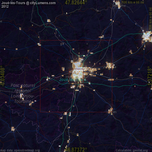
» Earth at Night: Flat Maps 2012, 2016