Aytré night lights from space
Night Light of Aytré (Nouvelle-Aquitaine) from space (France) Src. Average luminocity for 10x10km area is 42.7741% and for 50x50km: 6.4545%.
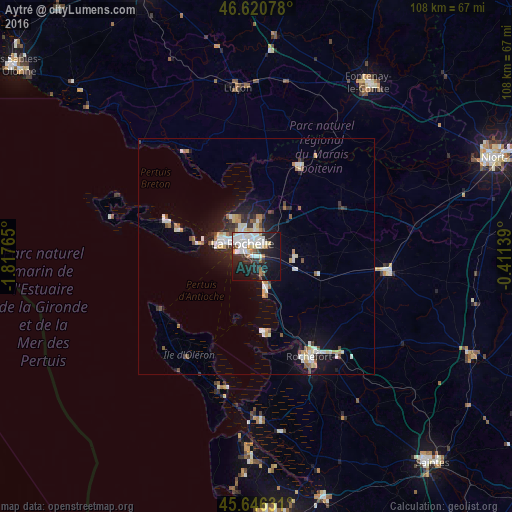
Analysis of Aytré night lights 2016
Square area 10x10 km:
 11.51%
90-99
13.07%80-89
3.27%70-79
2.13%60-69
2.98%50-59
2.84%40-49
1.85%30-39
3.41%20-29
15.63%10-19
28.84%0-9
14.49%Square area 50x50 km:
1.08%90-99
1.48%80-89
0.59%70-79
0.69%60-69
0.49%50-59
0.59%40-49
0.62%30-39
0.64%20-29
1.48%10-19
4.71%0-9
87.63%Clear (daylight) street map image can be seen on geolist.org.
Map coordinates:
46° 37' 14.8" North, 1° 49' 3.5" West
46° 8' 8.5" North, 1° 6' 52.3" West
45° 38' 46.7" North, 0° 24' 41" West
Some cities around Aytré sort by population:
• La Rochelle
4.4 km =2.7 mi,  321°
321°
• Rochefort
24.4 km =15.2 mi,  152°
152°
• Lagord
6.6 km =4.1 mi,  332°
332°
• Saint-Pierre-d’Oléron
25.9 km =16.1 mi,  214°
214°
• Périgny
2.5 km =1.6 mi,  30°
30°
• Châtelaillon-Plage
7.4 km =4.6 mi,  164°
164°
• Nieul-sur-Mer
8.7 km =5.4 mi, 333°
• Dompierre-sur-Mer
7 km =4.3 mi, 33°
3035560 (p: 8,335)
Sources (retrieved 2019-11-25):
» Earth at Night: Flat Maps 2012, 2016