Meudon night lights from space
Night Light of Meudon (Île-de-France) from space (France) Src. Average luminocity for 10x10km area is 94.0994% and for 50x50km: 74.3837%.
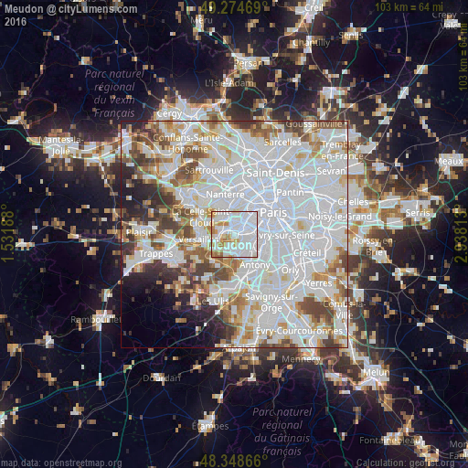
Analysis of Meudon night lights 2016
Square area 10x10 km:
 50.57%
90-99
28.98%80-89
6.25%70-79
7.1%60-69
6.25%50-59
0.85%40-49
0%30-39
0%20-29
0%10-19
0%0-9
0%Square area 50x50 km:
35.6%90-99
18.92%80-89
5.46%70-79
5.34%60-69
5.48%50-59
4.79%40-49
5.74%30-39
4.07%20-29
4.04%10-19
3.43%0-9
7.14%Clear (daylight) street map image can be seen on geolist.org.
Map coordinates:
49° 16' 28.9" North, 1° 31' 54.8" East
48° 48' 49.7" North, 2° 14' 6" East
48° 20' 55.2" North, 2° 56' 17.3" East
Some cities around Meudon sort by population:
• Boulogne-Billancourt
2.4 km =1.5 mi,  10°
10°
• Issy-les-Moulineaux
3.2 km =2 mi,  75°
75°
• Clamart
2.6 km =1.6 mi,  117°
117°
• Vanves
4.2 km =2.6 mi, 75°
• Sèvres
1.6 km =1 mi,  308°
308°
• Le Plessis-Robinson
3.8 km =2.4 mi,  136°
136°
• Chaville
3.5 km =2.2 mi,  255°
255°
• Ville-d’Avray
3.3 km =2.1 mi,  289°
289°
2994144 (p: 44,652)
Sources (retrieved 2019-11-25):
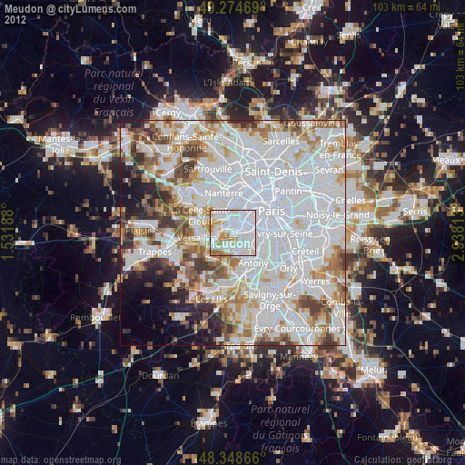
» Earth at Night: Flat Maps 2012, 2016