Clamart night lights from space
Night Light of Clamart (Île-de-France) from space (France) Src. Average luminocity for 10x10km area is 95.2514% and for 50x50km: 75.4998%.
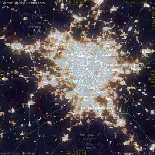
Analysis of Clamart night lights 2016
Square area 10x10 km:
 57.81%
90-99
26.85%80-89
3.69%70-79
5.4%60-69
5.26%50-59
0.99%40-49
0%30-39
0%20-29
0%10-19
0%0-9
0%Square area 50x50 km:
36.29%90-99
19.44%80-89
5.57%70-79
5.35%60-69
5.54%50-59
4.66%40-49
5.85%30-39
4.33%20-29
3.28%10-19
2.73%0-9
6.95%Clear (daylight) street map image can be seen on geolist.org.
Map coordinates:
49° 15' 50.3" North, 1° 33' 49.7" East
48° 48' 10.8" North, 2° 16' 0.9" East
48° 20' 15.9" North, 2° 58' 12.2" East
Some cities around Clamart sort by population:
• Issy-les-Moulineaux
2.1 km =1.3 mi,  20°
20°
• Meudon
2.6 km =1.6 mi,  297°
297°
• Bagneux
3.1 km =1.9 mi,  105°
105°
• Châtillon
1.9 km =1.2 mi,  91°
91°
• Malakoff
3.1 km =1.9 mi,  52°
52°
• Vanves
2.8 km =1.7 mi,  36°
36°
• Fontenay-aux-Roses
2.2 km =1.4 mi,  119°
119°
• Le Plessis-Robinson
1.6 km =1 mi,  169°
169°
3024783 (p: 51,400)
Sources (retrieved 2019-11-25):
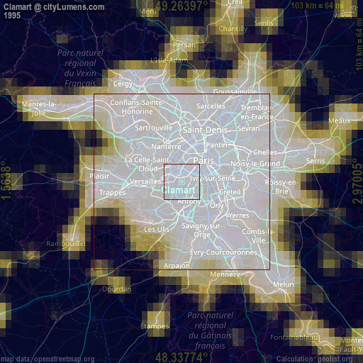
» NASA, Earths city lights 1995
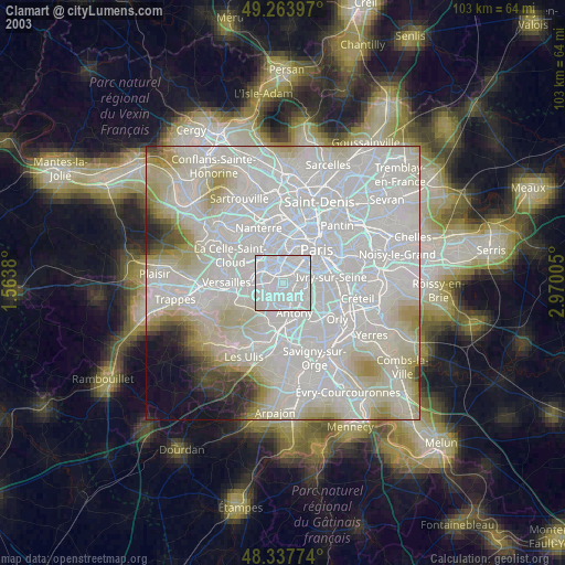
» NASA city lights 2003
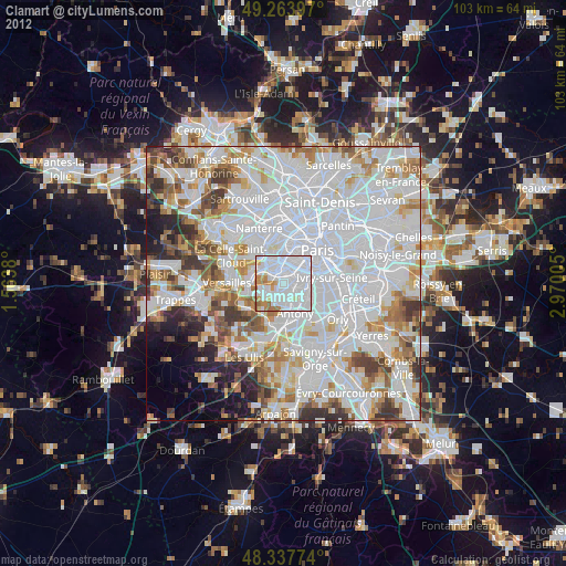
» Earth at Night: Flat Maps 2012, 2016