Montmorency night lights from space
Night Light of Montmorency (Île-de-France) from space (France) Src. Average luminocity for 10x10km area is 89.4509% and for 50x50km: 64.7711%.
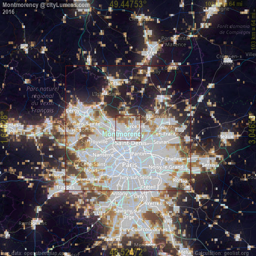
Analysis of Montmorency night lights 2016
Square area 10x10 km:
 50%
50%90-99
22.77%80-89
4.61%70-79
4.02%60-69
5.65%50-59
8.78%40-49
2.68%30-39
1.49%20-29
0%10-19
0%0-9
0%Square area 50x50 km:
30.53%90-99
14.91%80-89
4.74%70-79
4.01%60-69
4.97%50-59
4.38%40-49
4.7%30-39
4.38%20-29
6.24%10-19
11.48%0-9
9.66%Clear (daylight) street map image can be seen on geolist.org.
Map coordinates:
49° 26' 51.1" North, 1° 38' 25" East
48° 59' 17.7" North, 2° 20' 36.2" East
48° 31' 29" North, 3° 2' 47.5" East
Some cities around Montmorency sort by population:
• Sarcelles
2.7 km =1.7 mi,  68°
68°
• Pierrefitte-sur-Seine
2.7 km =1.7 mi,  151°
151°
• Deuil-la-Barre
1.7 km =1.1 mi,  222°
222°
• Soisy-sous-Montmorency
3.1 km =1.9 mi,  269°
269°
• Saint-Brice-sous-Forêt
1.6 km =1 mi,  27°
27°
• Villetaneuse
3.3 km =2.1 mi,  182°
182°
• Enghien-les-Bains
3.1 km =1.9 mi, 219°
• Groslay
0.4 km =0.2 mi,  135°
135°
2992229 (p: 21,156)
Sources (retrieved 2019-11-25):
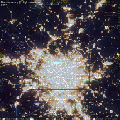
» Earth at Night: Flat Maps 2012, 2016