Saint-Quentin-en-Yvelines night lights from space
Night Light of Saint-Quentin-en-Yvelines (Île-de-France) from space (France) Src. Average luminocity for 10x10km area is 71.4517% and for 50x50km: 49.1499%.
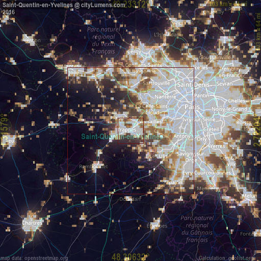
Analysis of Saint-Quentin-en-Yvelines night lights 2016
Square area 10x10 km:
 22.44%
90-99
25.85%80-89
5.68%70-79
2.41%60-69
5.54%50-59
6.53%40-49
7.24%30-39
11.79%20-29
12.07%10-19
0.43%0-9
0%Square area 50x50 km:
18.88%90-99
11.93%80-89
4.01%70-79
3.8%60-69
4.67%50-59
3.98%40-49
5.12%30-39
4.19%20-29
5.72%10-19
9.4%0-9
28.29%Clear (daylight) street map image can be seen on geolist.org.
Map coordinates:
49° 13' 59.2" North, 1° 18' 56.8" East
48° 46' 18.7" North, 2° 1' 8.1" East
48° 18' 22.8" North, 2° 43' 19.3" East
Some cities around Saint-Quentin-en-Yvelines sort by population:
• Montigny-le-Bretonneux
1.3 km =0.8 mi,  118°
118°
• Guyancourt
4 km =2.5 mi,  87°
87°
• Élancourt
4.9 km =3 mi,  286°
286°
• Trappes
0.3 km =0.2 mi,  342°
342°
• Voisins-le-Bretonneux
2.8 km =1.7 mi, 123°
• Bois-d’Arcy
3.1 km =1.9 mi,  5°
5°
• Fontenay-le-Fleury
5 km =3.1 mi,  25°
25°
• Magny-les-Hameaux
4.4 km =2.7 mi,  135°
135°
8533870 (p: 146,598)
Sources (retrieved 2019-11-25):
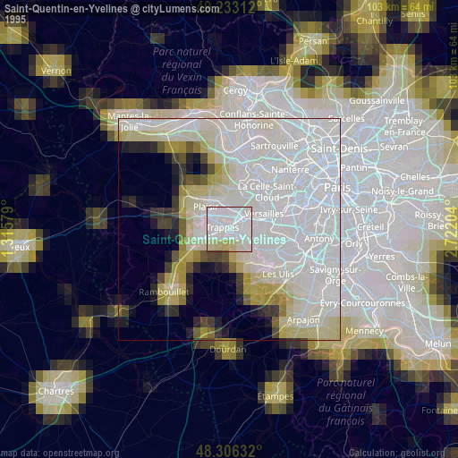
» NASA, Earths city lights 1995
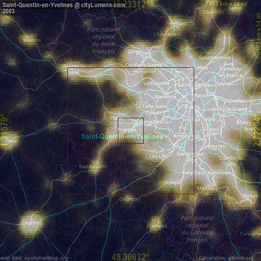
» NASA city lights 2003
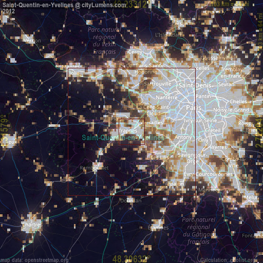
» Earth at Night: Flat Maps 2012, 2016