Élancourt night lights from space
Night Light of Élancourt (Île-de-France) from space (France) Src. Average luminocity for 10x10km area is 67.7514% and for 50x50km: 42.6418%.

Analysis of Élancourt night lights 2016
Square area 10x10 km:
 18.89%
90-99
21.16%80-89
6.25%70-79
4.55%60-69
8.24%50-59
6.11%40-49
7.67%30-39
13.92%20-29
9.8%10-19
3.41%0-9
0%Square area 50x50 km:
13.14%90-99
10.63%80-89
3.96%70-79
3.85%60-69
4.79%50-59
4.07%40-49
5.4%30-39
4.21%20-29
5.9%10-19
9.78%0-9
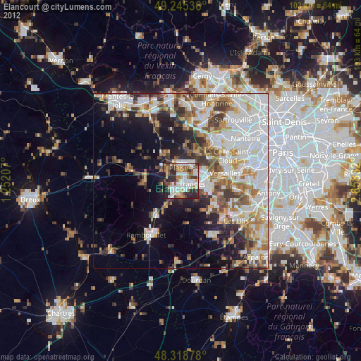
34.28%Clear (daylight) street map image can be seen on geolist.org.
Map coordinates:
49° 14' 43.3" North, 1° 15' 7.5" East
48° 47' 3.2" North, 1° 57' 18.7" East
48° 19' 7.6" North, 2° 39' 30" East
Some cities around Élancourt sort by population:
• Saint-Quentin-en-Yvelines
4.9 km =3 mi,  106°
106°
• Plaisir
4.3 km =2.7 mi,  358°
358°
• Trappes
4.7 km =2.9 mi,  103°
103°
• Maurepas
2.9 km =1.8 mi,  221°
221°
• Les Clayes-sous-Bois
4.8 km =3 mi,  28°
28°
• Le Mesnil-Saint-Denis
4.4 km =2.7 mi,  179°
179°
• La Verrière
3.6 km =2.2 mi,  190°
190°
• Jouars-Pontchartrain
4.2 km =2.6 mi,  277°
277°
3020310 (p: 30,831)
Sources (retrieved 2019-11-25):
» Earth at Night: Flat Maps 2012, 2016