Guyancourt night lights from space
Night Light of Guyancourt (Île-de-France) from space (France) Src. Average luminocity for 10x10km area is 70.2202% and for 50x50km: 55.1593%.
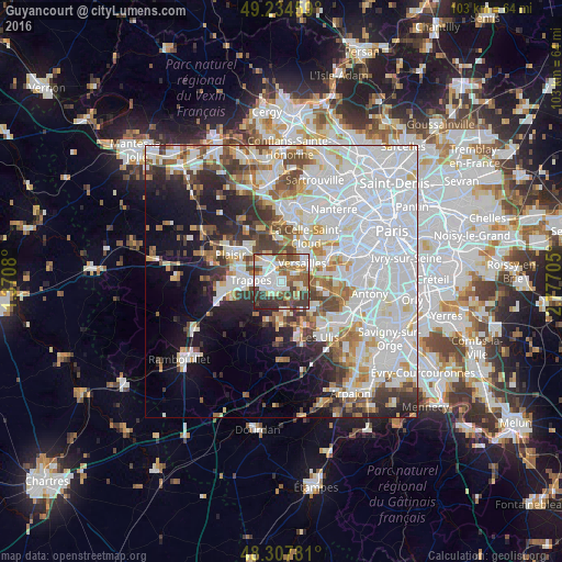
Analysis of Guyancourt night lights 2016
Square area 10x10 km:
 19.32%
90-99
19.6%80-89
6.39%70-79
4.26%60-69
11.08%50-59
10.51%40-49
8.66%30-39
15.63%20-29
4.55%10-19
0%0-9
0%Square area 50x50 km:
23.48%90-99
13.26%80-89
4.27%70-79
3.9%60-69
4.69%50-59
3.92%40-49
5.06%30-39
4.25%20-29
5.79%10-19
9.19%0-9
22.19%Clear (daylight) street map image can be seen on geolist.org.
Map coordinates:
49° 14' 4.5" North, 1° 22' 14.9" East
48° 46' 24" North, 2° 4' 26.1" East
48° 18' 28.1" North, 2° 46' 37.4" East
Some cities around Guyancourt sort by population:
• Saint-Quentin-en-Yvelines
4 km =2.5 mi,  267°
267°
• Montigny-le-Bretonneux
3 km =1.9 mi,  255°
255°
• Trappes
4.1 km =2.5 mi, 271°
• Saint-Cyr-l’École
2.8 km =1.7 mi,  351°
351°
• Voisins-le-Bretonneux
2.4 km =1.5 mi,  223°
223°
• Bois-d’Arcy
4.7 km =2.9 mi,  308°
308°
• Magny-les-Hameaux
3.4 km =2.1 mi,  195°
195°
• Buc
3.8 km =2.4 mi,  85°
85°
3014143 (p: 31,989)
Sources (retrieved 2019-11-25):
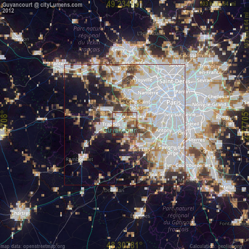
» Earth at Night: Flat Maps 2012, 2016