Montigny-le-Bretonneux night lights from space
Night Light of Montigny-le-Bretonneux (Île-de-France) from space (France) Src. Average luminocity for 10x10km area is 68.4446% and for 50x50km: 49.8349%.
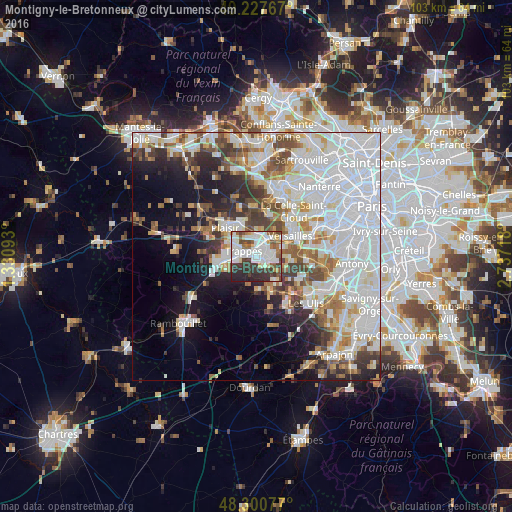
Analysis of Montigny-le-Bretonneux night lights 2016
Square area 10x10 km:
 21.88%
90-99
22.44%80-89
4.12%70-79
2.41%60-69
6.68%50-59
6.68%40-49
8.52%30-39
12.5%20-29
12.78%10-19
1.99%0-9
0%Square area 50x50 km:
19.75%90-99
11.9%80-89
3.96%70-79
3.75%60-69
4.62%50-59
3.92%40-49
5.05%30-39
4.23%20-29
5.85%10-19
9.48%0-9
27.5%Clear (daylight) street map image can be seen on geolist.org.
Map coordinates:
49° 13' 39.6" North, 1° 19' 51.3" East
48° 45' 58.9" North, 2° 2' 2.6" East
48° 18' 2.8" North, 2° 44' 13.8" East
Some cities around Montigny-le-Bretonneux sort by population:
• Saint-Quentin-en-Yvelines
1.3 km =0.8 mi,  298°
298°
• Guyancourt
3 km =1.9 mi,  75°
75°
• Trappes
1.5 km =0.9 mi,  305°
305°
• Saint-Cyr-l’École
4.4 km =2.7 mi,  34°
34°
• Voisins-le-Bretonneux
1.6 km =1 mi,  126°
126°
• Bois-d’Arcy
3.8 km =2.4 mi,  347°
347°
• Fontenay-le-Fleury
5.2 km =3.2 mi,  11°
11°
• Magny-les-Hameaux
3.2 km =2 mi,  141°
141°
2992415 (p: 39,063)
Sources (retrieved 2019-11-25):
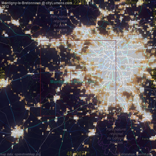
» Earth at Night: Flat Maps 2012, 2016