Brioude night lights from space
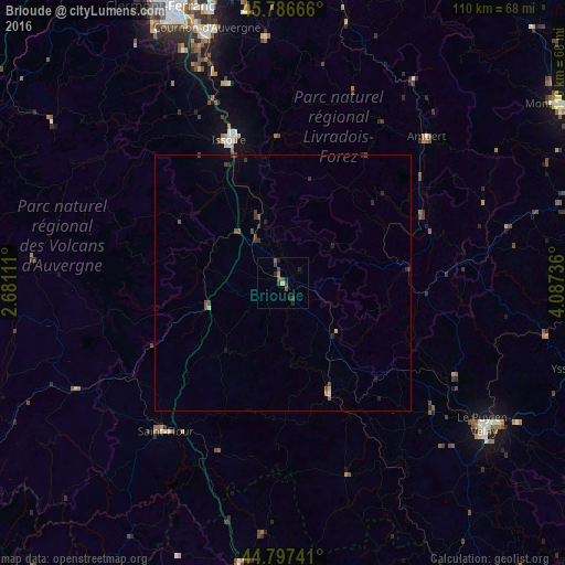
Night Light of Brioude (Auvergne-Rhône-Alpes) from space (France) Src. Average luminocity for 10x10km area is 4.7635% and for 50x50km: 0.6464%.
Analysis of Brioude night lights 2016
Square area 10x10 km:
 0%
0%90-99
0%80-89
0.63%70-79
0%60-69
0.63%50-59
1.11%40-49
1.43%30-39
3.17%20-29
3.02%10-19
0.79%0-9
89.21%Square area 50x50 km:
0%90-99
0.02%80-89
0.05%70-79
0.04%60-69
0.05%50-59
0.13%40-49
0.27%30-39
0.35%20-29
0.32%10-19
0.11%0-9
98.65%Clear (daylight) street map image can be seen on geolist.org.
Map coordinates:
45° 47' 12" North, 2° 40' 52" East
45° 17' 39.1" North, 3° 23' 3.2" East
44° 47' 50.7" North, 4° 5' 14.5" East
Some cities around Brioude sort by population:
• Le Puy-en-Velay
48.1 km =29.9 mi,  125°
125°
• Cournon-d’Auvergne
51.8 km =32.2 mi,  343°
343°
• Issoire
29.7 km =18.5 mi, 339°
• Romagnat
53.2 km =33.1 mi, 335°
• Ambert
39.8 km =24.7 mi,  44°
44°
• Saint-Flour
36.9 km =22.9 mi,  218°
218°
• Ceyrat
54.8 km =34.1 mi,  332°
332°
• Le Cendre
50 km =31.1 mi, 342°
3029995 (p: 7,451)
Sources (retrieved 2019-11-25):
» Earth at Night: Flat Maps 2012, 2016