Chatou night lights from space
Night Light of Chatou (Île-de-France) from space (France) Src. Average luminocity for 10x10km area is 93.0497% and for 50x50km: 65.8215%.
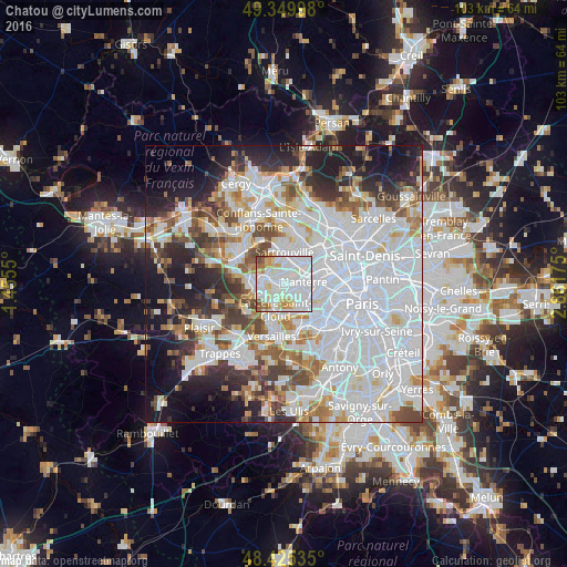
Analysis of Chatou night lights 2016
Square area 10x10 km:
 47.44%
90-99
31.68%80-89
5.26%70-79
8.52%60-69
3.27%50-59
1.99%40-49
1.85%30-39
0%20-29
0%10-19
0%0-9
0%Square area 50x50 km:
29.64%90-99
15.32%80-89
4.83%70-79
4.57%60-69
5.41%50-59
4.38%40-49
5.84%30-39
5%20-29
7.48%10-19
10.57%0-9
6.96%Clear (daylight) street map image can be seen on geolist.org.
Map coordinates:
49° 20' 59.9" North, 1° 27' 19.8" East
48° 53' 23.3" North, 2° 9' 31.1" East
48° 25' 31.3" North, 2° 51' 42.3" East
Some cities around Chatou sort by population:
• Nanterre
3.5 km =2.2 mi,  86°
86°
• Rueil-Malmaison
2.7 km =1.7 mi,  123°
123°
• Le Vésinet
1.9 km =1.2 mi,  280°
280°
• Le Pecq
4 km =2.5 mi, 275°
• Montesson
2.7 km =1.7 mi,  324°
324°
• Carrières-sur-Seine
2.4 km =1.5 mi,  38°
38°
• Croissy-sur-Seine
1.9 km =1.2 mi,  231°
231°
• Bougival
3.3 km =2.1 mi,  202°
202°
3026033 (p: 30,091)
Sources (retrieved 2019-11-25):
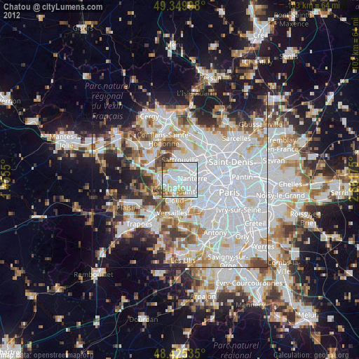
» Earth at Night: Flat Maps 2012, 2016