Puteaux night lights from space
Night Light of Puteaux (Île-de-France) from space (France) Src. Average luminocity for 10x10km area is 98.9219% and for 50x50km: 73.4112%.
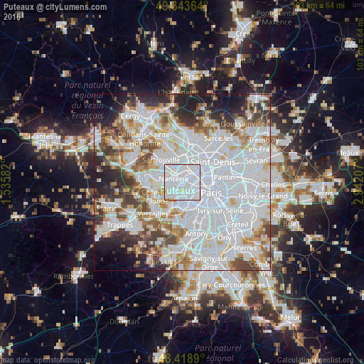
Analysis of Puteaux night lights 2016
Square area 10x10 km:
 78.13%
90-99
18.18%80-89
1.99%70-79
1.56%60-69
0.14%50-59
0%40-49
0%30-39
0%20-29
0%10-19
0%0-9
0%Square area 50x50 km:
34.63%90-99
17.82%80-89
5.31%70-79
5.01%60-69
5.65%50-59
4.8%40-49
5.96%30-39
5.12%20-29
6.46%10-19
5.82%0-9
3.43%Clear (daylight) street map image can be seen on geolist.org.
Map coordinates:
49° 20' 37.1" North, 1° 32' 9" East
48° 53' 0.3" North, 2° 14' 20.2" East
48° 25' 8" North, 2° 56' 31.5" East
Some cities around Puteaux sort by population:
• Nanterre
2.5 km =1.6 mi,  292°
292°
• Courbevoie
2 km =1.2 mi,  41°
41°
• Rueil-Malmaison
3.7 km =2.3 mi,  257°
257°
• Levallois-Perret
3.8 km =2.4 mi,  72°
72°
• Neuilly-sur-Seine
2.2 km =1.4 mi,  86°
86°
• Suresnes
1.5 km =0.9 mi,  207°
207°
• La Garenne-Colombes
2.4 km =1.5 mi,  13°
13°
• La Defense
1 km =0.6 mi,  359°
359°
2985034 (p: 40,646)
Sources (retrieved 2019-11-25):
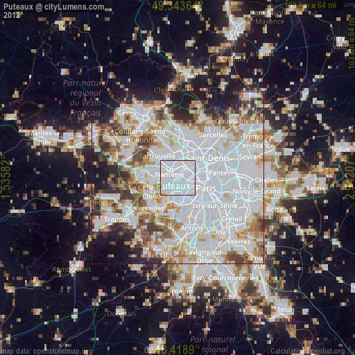
» Earth at Night: Flat Maps 2012, 2016