Quincy-sous-Sénart night lights from space
Night Light of Quincy-sous-Sénart (Île-de-France) from space (France) Src. Average luminocity for 10x10km area is 74.0327% and for 50x50km: 53.4597%.
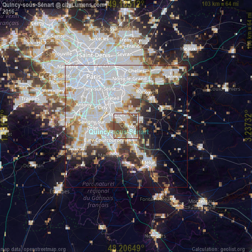
Analysis of Quincy-sous-Sénart night lights 2016
Square area 10x10 km:
 18.45%
90-99
22.92%80-89
7.89%70-79
4.32%60-69
12.2%50-59
7.14%40-49
24.55%30-39
2.53%20-29
0%10-19
0%0-9
0%Square area 50x50 km:
23.37%90-99
12.99%80-89
3.36%70-79
3.89%60-69
4.33%50-59
3.38%40-49
4.27%30-39
4.52%20-29
6.14%10-19
9.28%0-9
24.47%Clear (daylight) street map image can be seen on geolist.org.
Map coordinates:
49° 8' 6.4" North, 1° 49' 51.9" East
48° 40' 22.6" North, 2° 32' 3.1" East
48° 12' 23.4" North, 3° 14' 14.4" East
Some cities around Quincy-sous-Sénart sort by population:
• Yerres
5.8 km =3.6 mi,  329°
329°
• Brunoy
3.9 km =2.4 mi,  307°
307°
• Combs-la-Ville
2.7 km =1.7 mi,  108°
108°
• Brie-Comte-Robert
6 km =3.7 mi,  68°
68°
• Épinay-sous-Sénart
2.5 km =1.6 mi,  318°
318°
• Villecresnes
5.2 km =3.2 mi,  4°
4°
• Lieusaint
4.4 km =2.7 mi,  166°
166°
• Boussy-Saint-Antoine
2 km =1.2 mi,  352°
352°
2984678 (p: 7,808)
Sources (retrieved 2019-11-25):
» Earth at Night: Flat Maps 2012, 2016