Port-la-Nouvelle night lights from space
Night Light of Port-la-Nouvelle (Occitanie) from space (France) Src. Average luminocity for 10x10km area is 12.119% and for 50x50km: 6.6022%.
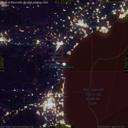
Analysis of Port-la-Nouvelle night lights 2016
Square area 10x10 km:
 2.54%
2.54%90-99
3.33%80-89
2.06%70-79
0.32%60-69
0.32%50-59
0%40-49
0%30-39
0.16%20-29
1.11%10-19
1.27%0-9
88.89%Square area 50x50 km:
0.71%90-99
1.41%80-89
0.69%70-79
0.54%60-69
0.67%50-59
0.6%40-49
0.53%30-39
0.53%20-29
1.19%10-19
5.46%0-9
87.67%Clear (daylight) street map image can be seen on geolist.org.
Map coordinates:
43° 31' 54.6" North, 2° 20' 25.9" East
43° 1' 11.7" North, 3° 2' 37.2" East
42° 30' 13.3" North, 3° 44' 48.4" East
Some cities around Port-la-Nouvelle sort by population:
• Narbonne
18.6 km =11.6 mi,  349°
349°
• Lézignan-Corbières
30.3 km =18.8 mi,  310°
310°
• Rivesaltes
31.1 km =19.3 mi,  206°
206°
• Saint-Laurent-de-la-Salanque
27.8 km =17.3 mi,  189°
189°
• Bompas
33.1 km =20.6 mi,  195°
195°
• Sérignan
34.5 km =21.4 mi,  33°
33°
• Pia
32.2 km =20 mi, 198°
• Coursan
23.8 km =14.8 mi,  2°
2°
2985968 (p: 5,189)
Sources (retrieved 2019-11-25):
» Earth at Night: Flat Maps 2012, 2016