Bompas night lights from space
Night Light of Bompas (Occitanie) from space (France) Src. Average luminocity for 10x10km area is 61.6606% and for 50x50km: 14.705%.
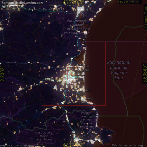
Analysis of Bompas night lights 2016
Square area 10x10 km:
 17.27%
90-99
17.88%80-89
3.94%70-79
3.64%60-69
5.91%50-59
6.67%40-49
6.97%30-39
10.15%20-29
27.58%10-19
0%0-9
0%Square area 50x50 km:
2.19%90-99
3.1%80-89
1.68%70-79
1.11%60-69
1.6%50-59
1.59%40-49
1.43%30-39
2.23%20-29
6.02%10-19
10.65%0-9
68.4%Clear (daylight) street map image can be seen on geolist.org.
Map coordinates:
43° 14' 51.5" North, 2° 13' 48.7" East
42° 43' 60" North, 2° 55' 60" East
42° 12' 53" North, 3° 38' 11.2" East
Some cities around Bompas sort by population:
• Perpignan
5 km =3.1 mi,  217°
217°
• Canet-en-Roussillon
7.8 km =4.8 mi,  118°
118°
• Saint-Estève
7.6 km =4.7 mi,  251°
251°
• Cabestany
5.8 km =3.6 mi,  173°
173°
• Rivesaltes
6.4 km =4 mi,  308°
308°
• Saint-Laurent-de-la-Salanque
6.4 km =4 mi,  46°
46°
• Toulouges
11 km =6.8 mi,  229°
229°
• Pia
1.7 km =1.1 mi,  318°
318°
3031848 (p: 7,619)
Sources (retrieved 2019-11-25):
» Earth at Night: Flat Maps 2012, 2016