Rivesaltes night lights from space
Night Light of Rivesaltes (Occitanie) from space (France) Src. Average luminocity for 10x10km area is 42.6045% and for 50x50km: 13.9451%.
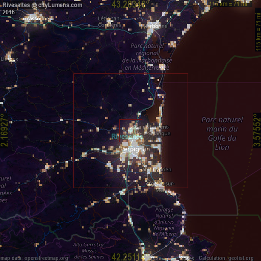
Analysis of Rivesaltes night lights 2016
Square area 10x10 km:
 7.58%
7.58%90-99
9.24%80-89
3.03%70-79
4.09%60-69
6.97%50-59
5.15%40-49
4.85%30-39
10.3%20-29
14.85%10-19
24.24%0-9
9.7%Square area 50x50 km:
2.11%90-99
2.97%80-89
1.55%70-79
1.13%60-69
1.51%50-59
1.46%40-49
1.31%30-39
2.14%20-29
5.92%10-19
9.65%0-9
70.25%Clear (daylight) street map image can be seen on geolist.org.
Map coordinates:
43° 17' 0.5" North, 2° 10' 9.4" East
42° 46' 10" North, 2° 52' 20.6" East
42° 15' 4.1" North, 3° 34' 31.9" East
Some cities around Rivesaltes sort by population:
• Perpignan
8.2 km =5.1 mi,  166°
166°
• Saint-Estève
6.8 km =4.2 mi,  199°
199°
• Cabestany
11.3 km =7 mi,  150°
150°
• Saint-Laurent-de-la-Salanque
9.6 km =6 mi,  87°
87°
• Bompas
6.4 km =4 mi,  128°
128°
• Le Soler
11.8 km =7.3 mi,  213°
213°
• Toulouges
11.6 km =7.2 mi, 197°
• Pia
4.7 km =2.9 mi, 125°
2983393 (p: 8,836)
Sources (retrieved 2019-11-25):
» Earth at Night: Flat Maps 2012, 2016