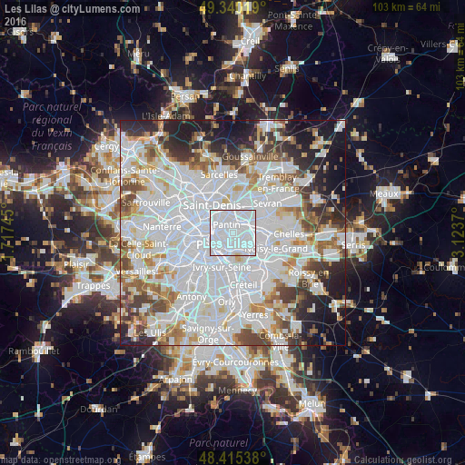
Les Lilas night lights from space
Night Light of Les Lilas (Île-de-France) from space (France) Src. Average luminocity for 10x10km area is 99.7798% and for 50x50km: 72.8006%.

Analysis of Les Lilas night lights 2016
Square area 10x10 km:
 90.06%
90-99
9.38%80-89
0.57%70-79
0%60-69
0%50-59
0%40-49
0%30-39
0%20-29
0%10-19
0%0-9
0%Square area 50x50 km:
34.68%90-99
17.78%80-89
4.83%70-79
4.74%60-69
5.61%50-59
4.72%40-49
5.32%30-39
4.91%20-29
6.5%10-19
8.56%0-9
2.34%Clear (daylight) street map image can be seen on geolist.org.
Map coordinates:
49° 20' 24.7" North, 1° 43' 2.8" East
48° 52' 47.7" North, 2° 25' 14.1" East
48° 24' 55.4" North, 3° 7' 25.3" East
Some cities around Les Lilas sort by population:
• Montreuil
2.4 km =1.5 mi,  136°
136°
• Pantin
1.8 km =1.1 mi,  332°
332°
• Vincennes
3.7 km =2.3 mi,  160°
160°
• Bobigny
4 km =2.5 mi,  33°
33°
• Noisy-le-Sec
3.5 km =2.2 mi,  68°
68°
• Bagnolet
1.5 km =0.9 mi,  190°
190°
• Romainville
1.2 km =0.7 mi,  59°
59°
• Le Pré-Saint-Gervais
1.3 km =0.8 mi,  297°
297°
3000491 (p: 21,124)
Sources (retrieved 2019-11-25):
» Earth at Night: Flat Maps 2012, 2016