Meyrin night lights from space
Night Light of Meyrin (Geneva) from space (Switzerland) Src. Average luminocity for 10x10km area is 70.8006% and for 50x50km: 17.0043%.
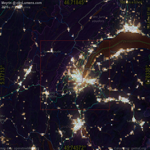
Analysis of Meyrin night lights 2016
Square area 10x10 km:
 19.94%
90-99
20.98%80-89
7.14%70-79
8.48%60-69
7.74%50-59
5.36%40-49
8.04%30-39
13.84%20-29
6.55%10-19
1.93%0-9
0%Square area 50x50 km:
2.16%90-99
2.79%80-89
1.41%70-79
1.59%60-69
2.12%50-59
2.44%40-49
3.38%30-39
3.31%20-29
4.52%10-19
14.6%0-9
61.69%Clear (daylight) street map image can be seen on geolist.org.
Map coordinates:
46° 43' 6.4" North, 5° 22' 37.7" East
46° 14' 3.3" North, 6° 4' 48.9" East
45° 44' 44.6" North, 6° 47' 0.2" East
Some cities around Meyrin sort by population:
• Genève
6.2 km =3.9 mi,  125°
125°
• Vernier
1.9 km =1.2 mi,  169°
169°
• Lancy
5.6 km =3.5 mi,  151°
151°
• Onex
5.8 km =3.6 mi,  163°
163°
• Le Grand-Saconnex
3.1 km =1.9 mi,  94°
94°
• Ferney-Voltaire, FR
3.6 km =2.2 mi,  40°
40°
• Saint-Genis-Pouilly, FR
4.7 km =2.9 mi,  282°
282°
• Les Avanchets
2.6 km =1.6 mi,  123°
123°
2659667 (p: 19,772)
Sources (retrieved 2019-11-25):
» Earth at Night: Flat Maps 2012, 2016