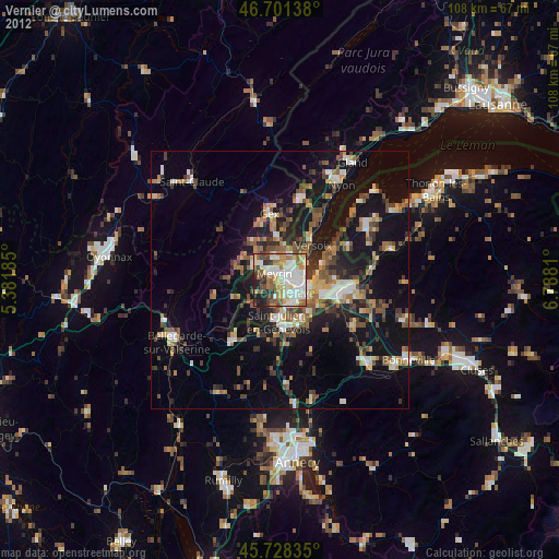
Vernier night lights from space
Night Light of Vernier (Geneva) from space (Switzerland) Src. Average luminocity for 10x10km area is 73.1648% and for 50x50km: 17.0438%.
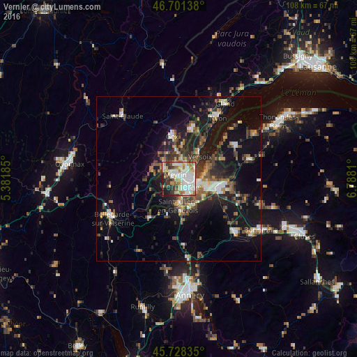
Analysis of Vernier night lights 2016
Square area 10x10 km:
 23.3%
23.3%90-99
23.72%80-89
5.82%70-79
7.81%60-69
8.1%50-59
4.26%40-49
6.11%30-39
10.09%20-29
6.68%10-19
4.12%0-9
0%Square area 50x50 km:
2.18%90-99
2.79%80-89
1.41%70-79
1.58%60-69
2.1%50-59
2.49%40-49
3.32%30-39
3.32%20-29
4.56%10-19
14.7%0-9
61.53%Clear (daylight) street map image can be seen on geolist.org.
Map coordinates:
46° 42' 5" North, 5° 22' 54.7" East
46° 13' 1.3" North, 6° 5' 5.9" East
45° 43' 42.1" North, 6° 47' 17.2" East
Some cities around Vernier sort by population:
• Genève
5 km =3.1 mi,  109°
109°
• Lancy
3.8 km =2.4 mi,  143°
143°
• Meyrin
1.9 km =1.2 mi,  349°
349°
• Onex
3.9 km =2.4 mi,  159°
159°
• Le Grand-Saconnex
3.2 km =2 mi,  59°
59°
• Bernex
4.6 km =2.9 mi,  189°
189°
• Ferney-Voltaire, FR
5 km =3.1 mi,  23°
23°
• Les Avanchets
1.9 km =1.2 mi,  73°
73°
2658154 (p: 30,086)
Sources (retrieved 2019-11-25):
» Earth at Night: Flat Maps 2012, 2016