Vichy night lights from space
Night Light of Vichy (Auvergne-Rhône-Alpes) from space (France) Src. Average luminocity for 10x10km area is 26.1577% and for 50x50km: 2.2887%.
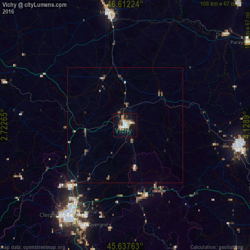
Analysis of Vichy night lights 2016
Square area 10x10 km:
 2.84%
2.84%90-99
5.97%80-89
1.42%70-79
2.84%60-69
5.11%50-59
2.56%40-49
3.27%30-39
3.98%20-29
3.41%10-19
29.4%0-9
39.2%Square area 50x50 km:
0.17%90-99
0.34%80-89
0.11%70-79
0.24%60-69
0.44%50-59
0.43%40-49
0.39%30-39
0.48%20-29
0.3%10-19
1.77%0-9
95.34%Clear (daylight) street map image can be seen on geolist.org.
Map coordinates:
46° 36' 44.1" North, 2° 43' 21.5" East
46° 7' 37.5" North, 3° 25' 32.8" East
45° 38' 15.5" North, 4° 7' 44" East
Some cities around Vichy sort by population:
• Riom
35.5 km =22.1 mi,  222°
222°
• Cusset
2.5 km =1.6 mi,  70°
70°
• Thiers
31.5 km =19.6 mi,  162°
162°
• Bellerive-sur-Allier
2 km =1.2 mi,  234°
234°
• Gannat
17.8 km =11.1 mi,  260°
260°
• Châtel-Guyon
36 km =22.4 mi, 230°
• Saint-Pourçain-sur-Sioule
22.6 km =14 mi,  332°
332°
• Lezoux
33.6 km =20.9 mi,  186°
186°
2969392 (p: 27,019)
Sources (retrieved 2019-11-25):
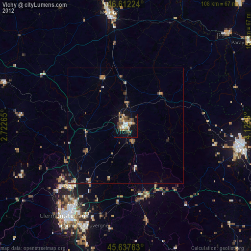
» Earth at Night: Flat Maps 2012, 2016