Notre-Dame-de-Bondeville night lights from space
Night Light of Notre-Dame-de-Bondeville (Normandy) from space (France) Src. Average luminocity for 10x10km area is 55.5672% and for 50x50km: 15.0505%.
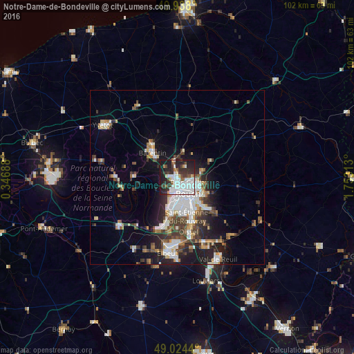
Analysis of Notre-Dame-de-Bondeville night lights 2016
Square area 10x10 km:
 21.01%
90-99
14.57%80-89
1.68%70-79
1.96%60-69
3.22%50-59
4.06%40-49
4.48%30-39
12.46%20-29
16.53%10-19
19.75%0-9
0.28%Square area 50x50 km:
3.52%90-99
2.89%80-89
1.04%70-79
1.35%60-69
1.44%50-59
1.75%40-49
2.15%30-39
2.72%20-29
4.23%10-19
7.2%0-9
71.73%Clear (daylight) street map image can be seen on geolist.org.
Map coordinates:
49° 56' 16.8" North, 0° 20' 48.8" East
49° 28' 60" North, 1° 3' 0" East
49° 1' 27.8" North, 1° 45' 11.3" East
Some cities around Notre-Dame-de-Bondeville sort by population:
• Rouen
5.7 km =3.5 mi,  141°
141°
• Mont-Saint-Aignan
3.9 km =2.4 mi,  125°
125°
• Canteleu
5.1 km =3.2 mi,  201°
201°
• Bois-Guillaume
5.8 km =3.6 mi,  116°
116°
• Maromme
1.9 km =1.2 mi,  256°
256°
• Déville-lès-Rouen
1.6 km =1 mi,  174°
174°
• Bihorel
6.1 km =3.8 mi, 121°
• Malaunay
4.9 km =3 mi,  354°
354°
2990064 (p: 7,817)
Sources (retrieved 2019-11-25):
» Earth at Night: Flat Maps 2012, 2016