Mantes-la-Jolie night lights from space
Night Light of Mantes-la-Jolie (Île-de-France) from space (France) Src. Average luminocity for 10x10km area is 55.2262% and for 50x50km: 20.7062%.
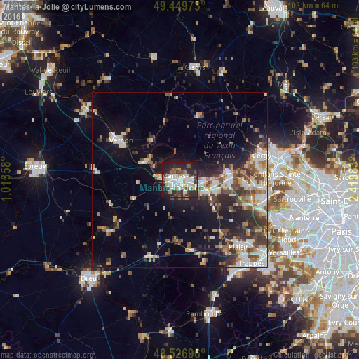
Analysis of Mantes-la-Jolie night lights 2016
Square area 10x10 km:
 15.03%
90-99
14.73%80-89
3.72%70-79
4.61%60-69
4.17%50-59
4.76%40-49
7.59%30-39
7.29%20-29
23.36%10-19
14.73%0-9
0%Square area 50x50 km:
3.28%90-99
4.03%80-89
2.07%70-79
2.13%60-69
2.55%50-59
2.56%40-49
3.7%30-39
3.18%20-29
5.84%10-19
10.66%0-9
59.99%Clear (daylight) street map image can be seen on geolist.org.
Map coordinates:
49° 26' 59" North, 1° 0' 48.9" East
48° 59' 25.7" North, 1° 43' 0.1" East
48° 31' 37.1" North, 2° 25' 11.4" East
Some cities around Mantes-la-Jolie sort by population:
• Les Mureaux
14.1 km =8.8 mi,  89°
89°
• Limay
1.8 km =1.1 mi,  72°
72°
• Aubergenville
10.6 km =6.6 mi,  108°
108°
• Meulan-en-Yvelines
13.9 km =8.6 mi,  82°
82°
• Gargenville
6.9 km =4.3 mi, 92°
• Épône
8.7 km =5.4 mi,  117°
117°
• Maule
13.3 km =8.3 mi,  131°
131°
• Magnanville
3.8 km =2.4 mi,  228°
228°
2996148 (p: 44,263)
Sources (retrieved 2019-11-25):
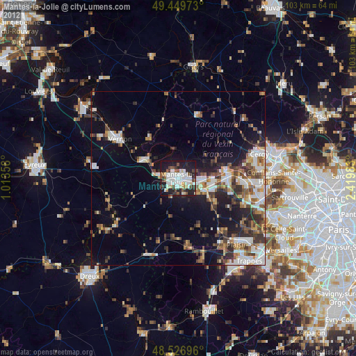
» Earth at Night: Flat Maps 2012, 2016