Les Mureaux night lights from space
Night Light of Les Mureaux (Île-de-France) from space (France) Src. Average luminocity for 10x10km area is 58.6042% and for 50x50km: 36.8279%.
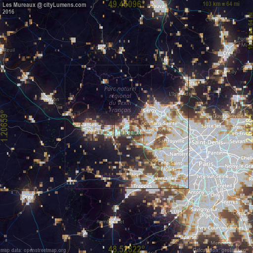
Analysis of Les Mureaux night lights 2016
Square area 10x10 km:
 13.1%
13.1%90-99
12.2%80-89
3.72%70-79
8.63%60-69
5.36%50-59
7.89%40-49
16.82%30-39
13.24%20-29
15.63%10-19
3.42%0-9
0%Square area 50x50 km:
9.84%90-99
9.04%80-89
3.65%70-79
3.64%60-69
4.1%50-59
3.9%40-49
4.78%30-39
3.74%20-29
7.08%10-19
10.62%0-9
39.61%Clear (daylight) street map image can be seen on geolist.org.
Map coordinates:
49° 27' 3.5" North, 1° 12' 23.7" East
48° 59' 30.2" North, 1° 54' 35" East
48° 31' 41.6" North, 2° 36' 46.2" East
Some cities around Les Mureaux sort by population:
• Verneuil-sur-Seine
4.5 km =2.8 mi,  116°
116°
• Triel-sur-Seine
7.3 km =4.5 mi,  101°
101°
• Aubergenville
5.3 km =3.3 mi,  228°
228°
• Vernouillet
5.7 km =3.5 mi,  113°
113°
• Meulan-en-Yvelines
1.8 km =1.1 mi,  351°
351°
• Gargenville
7.2 km =4.5 mi,  266°
266°
• Épône
7.6 km =4.7 mi,  237°
237°
• Menucourt
6.6 km =4.1 mi,  51°
51°
3000192 (p: 32,134)
Sources (retrieved 2019-11-25):
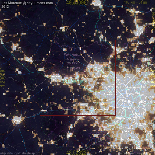
» Earth at Night: Flat Maps 2012, 2016