Limay night lights from space
Night Light of Limay (Île-de-France) from space (France) Src. Average luminocity for 10x10km area is 57.006% and for 50x50km: 22.2689%.
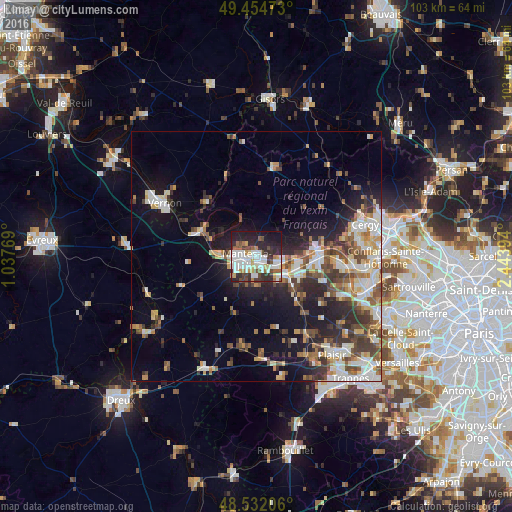
Analysis of Limay night lights 2016
Square area 10x10 km:
 16.07%
90-99
16.22%80-89
4.32%70-79
3.87%60-69
4.32%50-59
6.1%40-49
6.85%30-39
5.8%20-29
20.54%10-19
14.88%0-9
1.04%Square area 50x50 km:
3.76%90-99
4.53%80-89
2.17%70-79
2.44%60-69
2.74%50-59
2.87%40-49
3.91%30-39
3.22%20-29
5.88%10-19
10.43%0-9
58.05%Clear (daylight) street map image can be seen on geolist.org.
Map coordinates:
49° 27' 17" North, 1° 2' 15.7" East
48° 59' 43.9" North, 1° 44' 26.9" East
48° 31' 55.4" North, 2° 26' 38.2" East
Some cities around Limay sort by population:
• Mantes-la-Jolie
1.8 km =1.1 mi,  252°
252°
• Les Mureaux
12.3 km =7.6 mi,  91°
91°
• Mantes-la-Ville
3.7 km =2.3 mi,  229°
229°
• Aubergenville
9.2 km =5.7 mi,  115°
115°
• Meulan-en-Yvelines
12.1 km =7.5 mi,  83°
83°
• Gargenville
5.2 km =3.2 mi,  99°
99°
• Épône
7.5 km =4.7 mi,  127°
127°
• Magnanville
5.5 km =3.4 mi,  236°
236°
2998311 (p: 18,559)
Sources (retrieved 2019-11-25):
» Earth at Night: Flat Maps 2012, 2016