Lorient night lights from space
Night Light of Lorient (Brittany) from space (France) Src. Average luminocity for 10x10km area is 61.4821% and for 50x50km: 5.4711%.
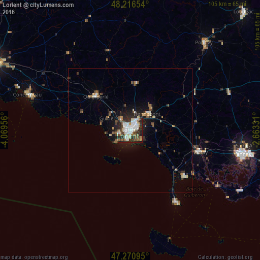
Analysis of Lorient night lights 2016
Square area 10x10 km:
 17.26%
90-99
17.41%80-89
5.51%70-79
3.87%60-69
3.87%50-59
5.8%40-49
11.01%30-39
9.38%20-29
20.39%10-19
5.36%0-9
0.15%Square area 50x50 km:
0.79%90-99
0.98%80-89
0.48%70-79
0.34%60-69
0.59%50-59
0.81%40-49
0.85%30-39
0.87%20-29
1.76%10-19
3.62%0-9
88.9%Clear (daylight) street map image can be seen on geolist.org.
Map coordinates:
48° 12' 59.5" North, 4° 4' 10.4" West
47° 44' 45.2" North, 3° 21' 59.1" West
47° 16' 15.4" North, 2° 39' 47.9" West
Some cities around Lorient sort by population:
• Lanester
2.6 km =1.6 mi,  49°
49°
• Ploemeur
5.2 km =3.2 mi,  254°
254°
• Hennebont
9.6 km =6 mi, 46°
• Guidel-Plage
11.9 km =7.4 mi,  281°
281°
• Quéven
5.6 km =3.5 mi,  317°
317°
• Larmor-Plage
4.6 km =2.9 mi,  196°
196°
• Caudan
7.2 km =4.5 mi,  14°
14°
• Languidic
18.3 km =11.4 mi,  58°
58°
2997577 (p: 58,112)
Sources (retrieved 2019-11-25):
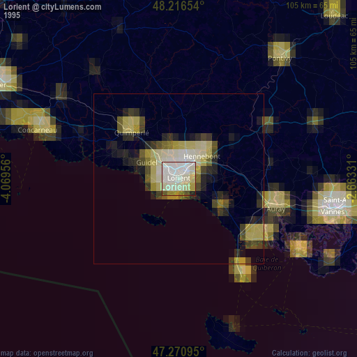
» NASA, Earths city lights 1995
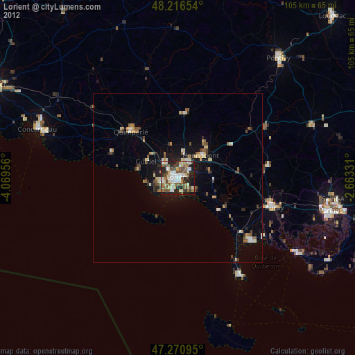
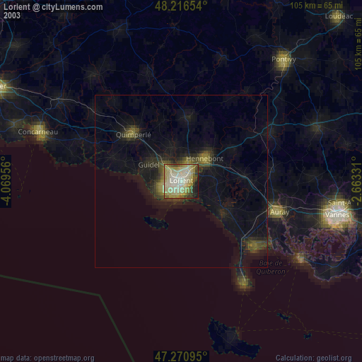
» NASA city lights 2003
» Earth at Night: Flat Maps 2012, 2016