Ploemeur night lights from space
Night Light of Ploemeur (Brittany) from space (France) Src. Average luminocity for 10x10km area is 38.4881% and for 50x50km: 5.2116%.
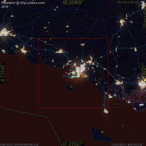
Analysis of Ploemeur night lights 2016
Square area 10x10 km:
 8.18%
8.18%90-99
8.93%80-89
5.51%70-79
1.49%60-69
2.83%50-59
4.02%40-49
8.18%30-39
4.17%20-29
11.61%10-19
18.9%0-9
26.19%Square area 50x50 km:
0.79%90-99
0.91%80-89
0.44%70-79
0.32%60-69
0.57%50-59
0.8%40-49
0.82%30-39
0.81%20-29
1.72%10-19
3.59%0-9
89.22%Clear (daylight) street map image can be seen on geolist.org.
Map coordinates:
48° 12' 14.7" North, 4° 8' 11.3" West
47° 43' 60" North, 3° 25' 60" West
47° 15' 29.8" North, 2° 43' 48.8" West
Some cities around Ploemeur sort by population:
• Lorient
5.2 km =3.2 mi,  74°
74°
• Lanester
7.7 km =4.8 mi, 66°
• Hennebont
14.4 km =8.9 mi,  56°
56°
• Guidel-Plage
7.6 km =4.7 mi,  300°
300°
• Quéven
5.7 km =3.5 mi,  12°
12°
• Larmor-Plage
4.8 km =3 mi,  128°
128°
• Caudan
10.8 km =6.7 mi,  38°
38°
• Moëlan-sur-Mer
17.2 km =10.7 mi, 301°
2986732 (p: 20,652)
Sources (retrieved 2019-11-25):
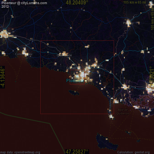
» Earth at Night: Flat Maps 2012, 2016