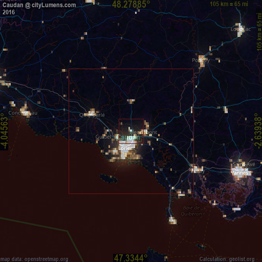
Caudan night lights from space
Night Light of Caudan (Brittany) from space (France) Src. Average luminocity for 10x10km area is 28.8571% and for 50x50km: 5.4741%.
Analysis of Caudan night lights 2016
Square area 10x10 km:
 6.1%
6.1%90-99
6.1%80-89
1.19%70-79
2.23%60-69
2.38%50-59
1.64%40-49
2.08%30-39
4.76%20-29
14.14%10-19
30.8%0-9
28.57%Square area 50x50 km:
0.79%90-99
0.94%80-89
0.44%70-79
0.34%60-69
0.66%50-59
0.85%40-49
0.91%30-39
0.92%20-29
1.75%10-19
3.54%0-9
88.86%Clear (daylight) street map image can be seen on geolist.org.
Map coordinates:
48° 16' 43.9" North, 4° 2' 44.3" West
47° 48' 31.6" North, 3° 20' 33" West
47° 20' 3.8" North, 2° 38' 21.8" West
Some cities around Caudan sort by population:
• Lorient
7.2 km =4.5 mi,  194°
194°
• Lanester
5.3 km =3.3 mi,  177°
177°
• Ploemeur
10.8 km =6.7 mi,  218°
218°
• Hennebont
5.2 km =3.2 mi,  94°
94°
• Quéven
6.2 km =3.9 mi,  242°
242°
• Larmor-Plage
11.8 km =7.3 mi,  195°
195°
• Languidic
14 km =8.7 mi,  79°
79°
• Plouay
11.8 km =7.3 mi,  3°
3°
3028217 (p: 7,241)
Sources (retrieved 2019-11-25):
» Earth at Night: Flat Maps 2012, 2016