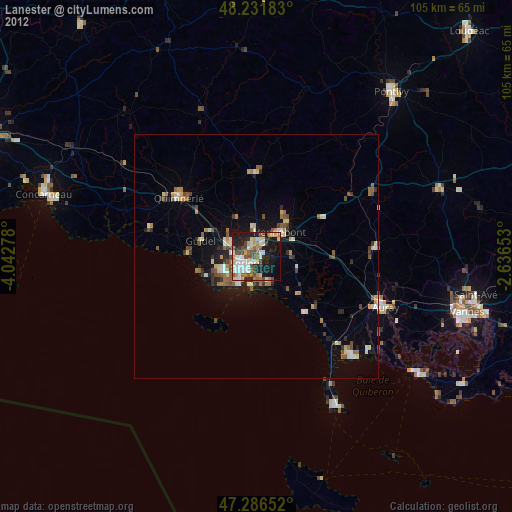
Lanester night lights from space
Night Light of Lanester (Brittany) from space (France) Src. Average luminocity for 10x10km area is 52.5878% and for 50x50km: 5.7106%.
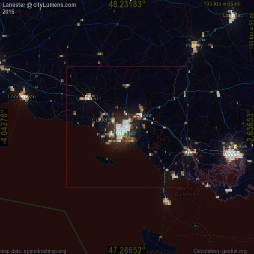
Analysis of Lanester night lights 2016
Square area 10x10 km:
 15.77%
90-99
15.77%80-89
3.57%70-79
1.93%60-69
5.06%50-59
2.38%40-49
3.87%30-39
8.04%20-29
19.05%10-19
21.13%0-9
3.42%Square area 50x50 km:
0.81%90-99
1.01%80-89
0.48%70-79
0.34%60-69
0.67%50-59
0.85%40-49
0.95%30-39
0.96%20-29
1.78%10-19
3.62%0-9
88.52%Clear (daylight) street map image can be seen on geolist.org.
Map coordinates:
48° 13' 54.6" North, 4° 2' 34" West
47° 45' 40.8" North, 3° 20' 22.7" West
47° 17' 11.5" North, 2° 38' 11.5" West
Some cities around Lanester sort by population:
• Lorient
2.6 km =1.6 mi,  229°
229°
• Ploemeur
7.7 km =4.8 mi,  246°
246°
• Hennebont
6.9 km =4.3 mi,  45°
45°
• Guidel-Plage
13.6 km =8.5 mi,  272°
272°
• Quéven
6.3 km =3.9 mi,  293°
293°
• Larmor-Plage
6.9 km =4.3 mi,  208°
208°
• Caudan
5.3 km =3.3 mi,  357°
357°
• Languidic
15.7 km =9.8 mi,  59°
59°
3007794 (p: 24,352)
Sources (retrieved 2019-11-25):
» Earth at Night: Flat Maps 2012, 2016