Languidic night lights from space
Night Light of Languidic (Brittany) from space (France) Src. Average luminocity for 10x10km area is 1.4048% and for 50x50km: 5.5994%.
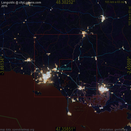
Analysis of Languidic night lights 2016
Square area 10x10 km:
 0%
0%90-99
0%80-89
0%70-79
0.45%60-69
0.15%50-59
0.6%40-49
0%30-39
0%20-29
0%10-19
0.6%0-9
98.21%Square area 50x50 km:
0.78%90-99
1%80-89
0.48%70-79
0.4%60-69
0.6%50-59
0.78%40-49
0.92%30-39
0.92%20-29
1.76%10-19
3.56%0-9
88.8%Clear (daylight) street map image can be seen on geolist.org.
Map coordinates:
48° 18' 9.1" North, 3° 51' 40.8" West
47° 49' 57.6" North, 3° 9' 29.6" West
47° 21' 30.6" North, 2° 27' 18.3" West
Some cities around Languidic sort by population:
• Lorient
18.3 km =11.4 mi,  238°
238°
• Lanester
15.7 km =9.8 mi, 239°
• Hennebont
9.1 km =5.7 mi,  250°
250°
• Caudan
14 km =8.7 mi,  259°
259°
• Pluvigner
12.7 km =7.9 mi,  119°
119°
• Baud
11.5 km =7.1 mi,  65°
65°
• Plouay
15.9 km =9.9 mi,  304°
304°
• Brech
17.2 km =10.7 mi,  136°
136°
3007663 (p: 7,000)
Sources (retrieved 2019-11-25):
» Earth at Night: Flat Maps 2012, 2016