Lons-le-Saunier night lights from space
Night Light of Lons-le-Saunier (Bourgogne-Franche-Comté) from space (France) Src. Average luminocity for 10x10km area is 15.9048% and for 50x50km: 1.4752%.
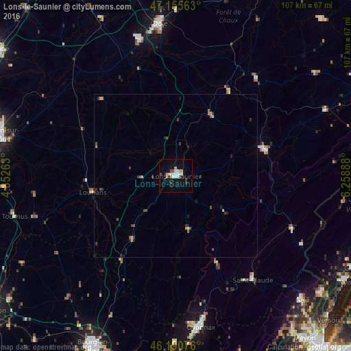
Analysis of Lons-le-Saunier night lights 2016
Square area 10x10 km:
 4.12%
4.12%90-99
2.7%80-89
1.42%70-79
1.42%60-69
0.28%50-59
1.14%40-49
1.42%30-39
2.84%20-29
0.57%10-19
9.94%0-9
74.15%Square area 50x50 km:
0.19%90-99
0.16%80-89
0.12%70-79
0.19%60-69
0.13%50-59
0.19%40-49
0.26%30-39
0.38%20-29
0.28%10-19
0.7%0-9
97.41%Clear (daylight) street map image can be seen on geolist.org.
Map coordinates:
47° 9' 20.3" North, 4° 51' 9.5" East
46° 40' 31.3" North, 5° 33' 20.7" East
46° 11' 26.7" North, 6° 15' 32" East
Some cities around Lons-le-Saunier sort by population:
• Dole
46.6 km =29 mi,  353°
353°
• Oyonnax
46.9 km =29.1 mi,  170°
170°
• Valfin-lès-Saint-Claude
35 km =21.7 mi,  139°
139°
• Saint-Claude
39.9 km =24.8 mi, 143°
• Champagnole
28.3 km =17.6 mi,  74°
74°
• Morez
39.6 km =24.6 mi,  114°
114°
• Louhans
25.8 km =16 mi,  257°
257°
• Tournus
51.1 km =31.8 mi, 256°
2997626 (p: 20,678)
Sources (retrieved 2019-11-25):
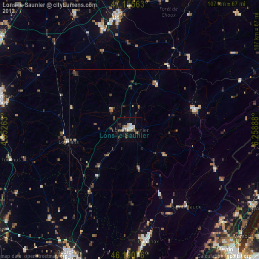
» Earth at Night: Flat Maps 2012, 2016