Dole night lights from space
Night Light of Dole (Bourgogne-Franche-Comté) from space (France) Src. Average luminocity for 10x10km area is 23.2486% and for 50x50km: 2.7737%.
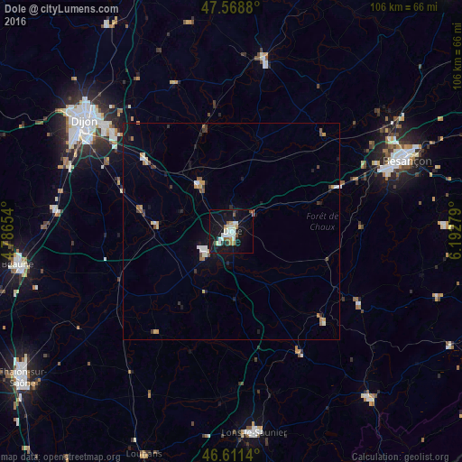
Analysis of Dole night lights 2016
Square area 10x10 km:
 4.55%
4.55%90-99
5.26%80-89
1.7%70-79
1.28%60-69
2.7%50-59
2.27%40-49
0.71%30-39
2.27%20-29
1.99%10-19
34.94%0-9
42.33%Square area 50x50 km:
0.38%90-99
0.46%80-89
0.25%70-79
0.31%60-69
0.32%50-59
0.26%40-49
0.26%30-39
0.36%20-29
0.37%10-19
2.23%0-9
94.81%Clear (daylight) street map image can be seen on geolist.org.
Map coordinates:
47° 34' 7.7" North, 4° 47' 11.5" East
47° 5' 32.1" North, 5° 29' 22.8" East
46° 36' 41" North, 6° 11' 34" East
Some cities around Dole sort by population:
• Chevigny-Saint-Sauveur
35.4 km =22 mi,  310°
310°
• Quetigny
37.6 km =23.4 mi, 311°
• Longvic
38.8 km =24.1 mi,  303°
303°
• Auxonne
13.6 km =8.5 mi,  325°
325°
• Gray
40.1 km =24.9 mi,  11°
11°
• Genlis
26.1 km =16.2 mi, 309°
• Nuits-Saint-Georges
41.2 km =25.6 mi,  276°
276°
• Saint-Apollinaire
40.7 km =25.3 mi, 311°
3021263 (p: 25,878)
Sources (retrieved 2019-11-25):
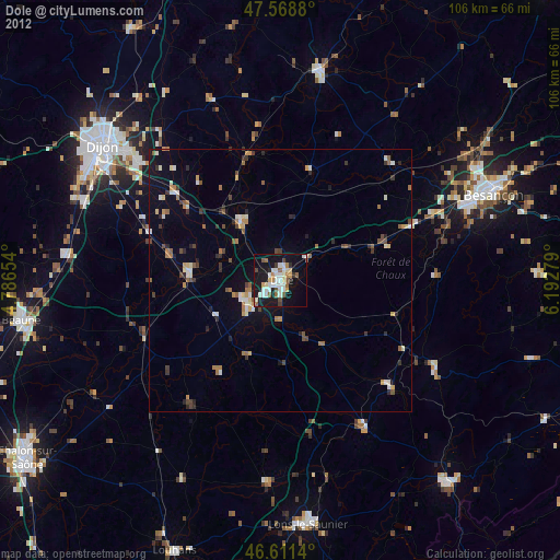
» Earth at Night: Flat Maps 2012, 2016