Saint-Quentin night lights from space
Night Light of Saint-Quentin (Hauts-de-France) from space (France) Src. Average luminocity for 10x10km area is 43.2634% and for 50x50km: 5.8126%.
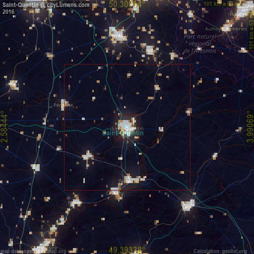
Analysis of Saint-Quentin night lights 2016
Square area 10x10 km:
 11.76%
90-99
10.56%80-89
2.94%70-79
4.55%60-69
4.01%50-59
3.88%40-49
0.94%30-39
3.07%20-29
15.78%10-19
33.82%0-9
8.69%Square area 50x50 km:
0.99%90-99
1.1%80-89
0.5%70-79
0.47%60-69
0.6%50-59
0.59%40-49
0.58%30-39
0.52%20-29
1.09%10-19
4.69%0-9
88.88%Clear (daylight) street map image can be seen on geolist.org.
Map coordinates:
50° 18' 0.5" North, 2° 35' 4" East
49° 50' 56" North, 3° 17' 15.3" East
49° 23' 36.2" North, 3° 59' 26.5" East
Some cities around Saint-Quentin sort by population:
• Tergnier
21.5 km =13.4 mi,  177°
177°
• Caudry
31.9 km =19.8 mi,  16°
16°
• Chauny
26.5 km =16.5 mi,  190°
190°
• Péronne
26.8 km =16.7 mi,  290°
290°
• Bohain-en-Vermandois
19.4 km =12.1 mi,  37°
37°
• Guise
25.1 km =15.6 mi,  76°
76°
• Ham
19.1 km =11.9 mi,  233°
233°
• Gauchy
2.6 km =1.6 mi,  202°
202°
2977295 (p: 55,407)
Sources (retrieved 2019-11-25):
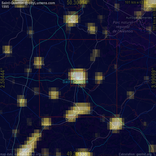
» NASA, Earths city lights 1995
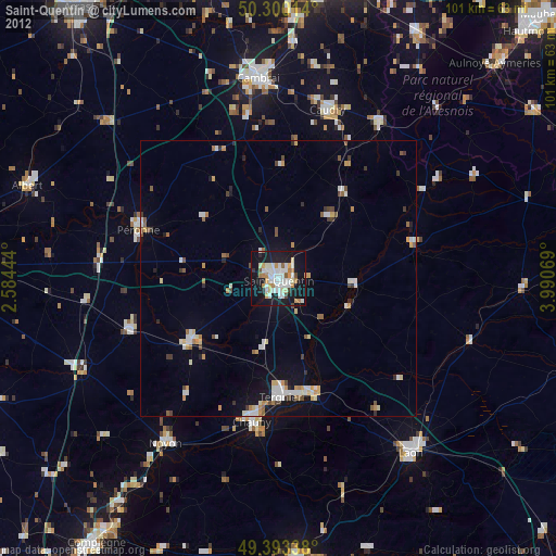
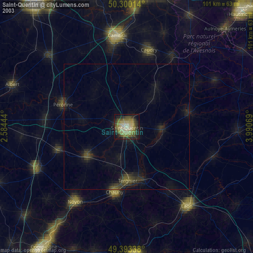
» NASA city lights 2003
» Earth at Night: Flat Maps 2012, 2016