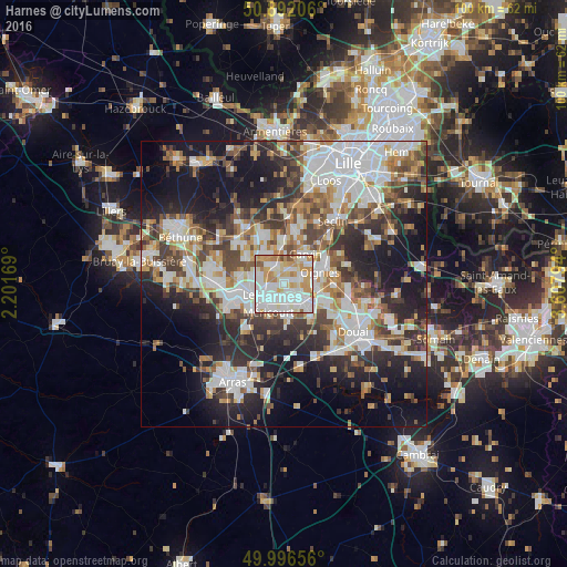
Harnes night lights from space
Night Light of Harnes (Hauts-de-France) from space (France) Src. Average luminocity for 10x10km area is 89.7703% and for 50x50km: 45.0325%.
Analysis of Harnes night lights 2016
Square area 10x10 km:
 32.21%
90-99
31.65%80-89
10.78%70-79
15.41%60-69
6.58%50-59
2.52%40-49
0.84%30-39
0%20-29
0%10-19
0%0-9
0%Square area 50x50 km:
10.87%90-99
10.32%80-89
3.94%70-79
4.72%60-69
5.56%50-59
5.2%40-49
6.14%30-39
7.06%20-29
11.36%10-19
17.55%0-9
17.28%Clear (daylight) street map image can be seen on geolist.org.
Map coordinates:
50° 53' 31.4" North, 2° 12' 6.1" East
50° 26' 47.1" North, 2° 54' 17.3" East
49° 59' 47.6" North, 3° 36' 28.6" East
Some cities around Harnes sort by population:
• Montigny-en-Gohelle
3.4 km =2.1 mi,  133°
133°
• Sallaumines
4.4 km =2.7 mi,  223°
223°
• Courrières
3.2 km =2 mi,  68°
68°
• Billy-Montigny
3.3 km =2.1 mi,  182°
182°
• Noyelles-sous-Lens
2.9 km =1.8 mi,  233°
233°
• Fouquières-lès-Lens
2.1 km =1.3 mi,  163°
163°
• Vendin-le-Vieil
4.1 km =2.5 mi,  318°
318°
• Loison-sous-Lens
3.8 km =2.4 mi,  255°
255°
3013908 (p: 13,569)
Sources (retrieved 2019-11-25):
» Earth at Night: Flat Maps 2012, 2016